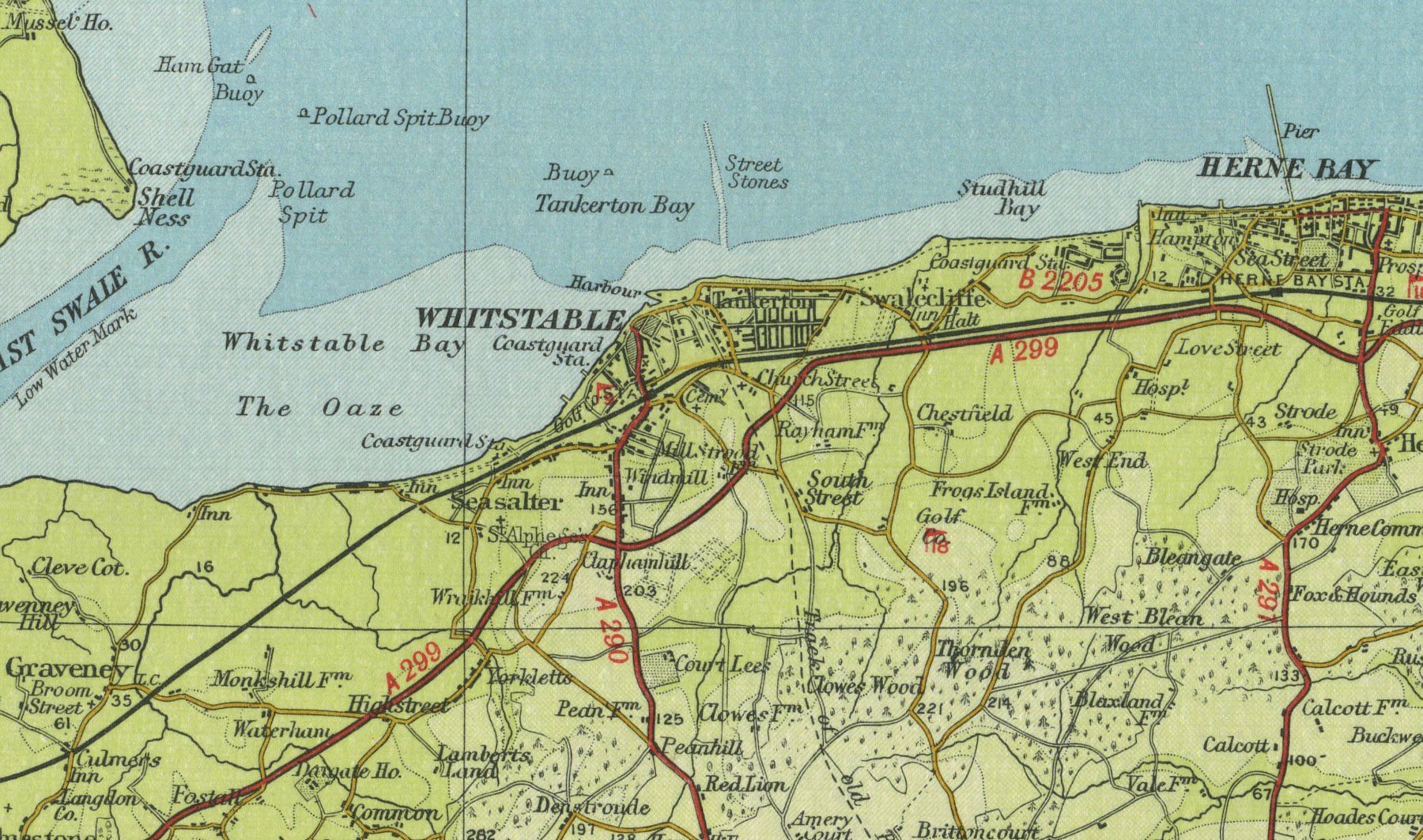
Whitstable
Whitstable, Kent, lies seven miles north of Canterbury and has a population approaching 30,000. Famous for its oysters, bathers, yachtsmen and fishermen are also attracted by its shingle beaches. Whitstable's harbour was the first to be connected by rail, which ran the seven miles inland to Canterbury.
The map below shows
the features of the town of Whitstable as it was in the mid twentieth
century. Click on a selected area of the map below to see an
enlargement.
|