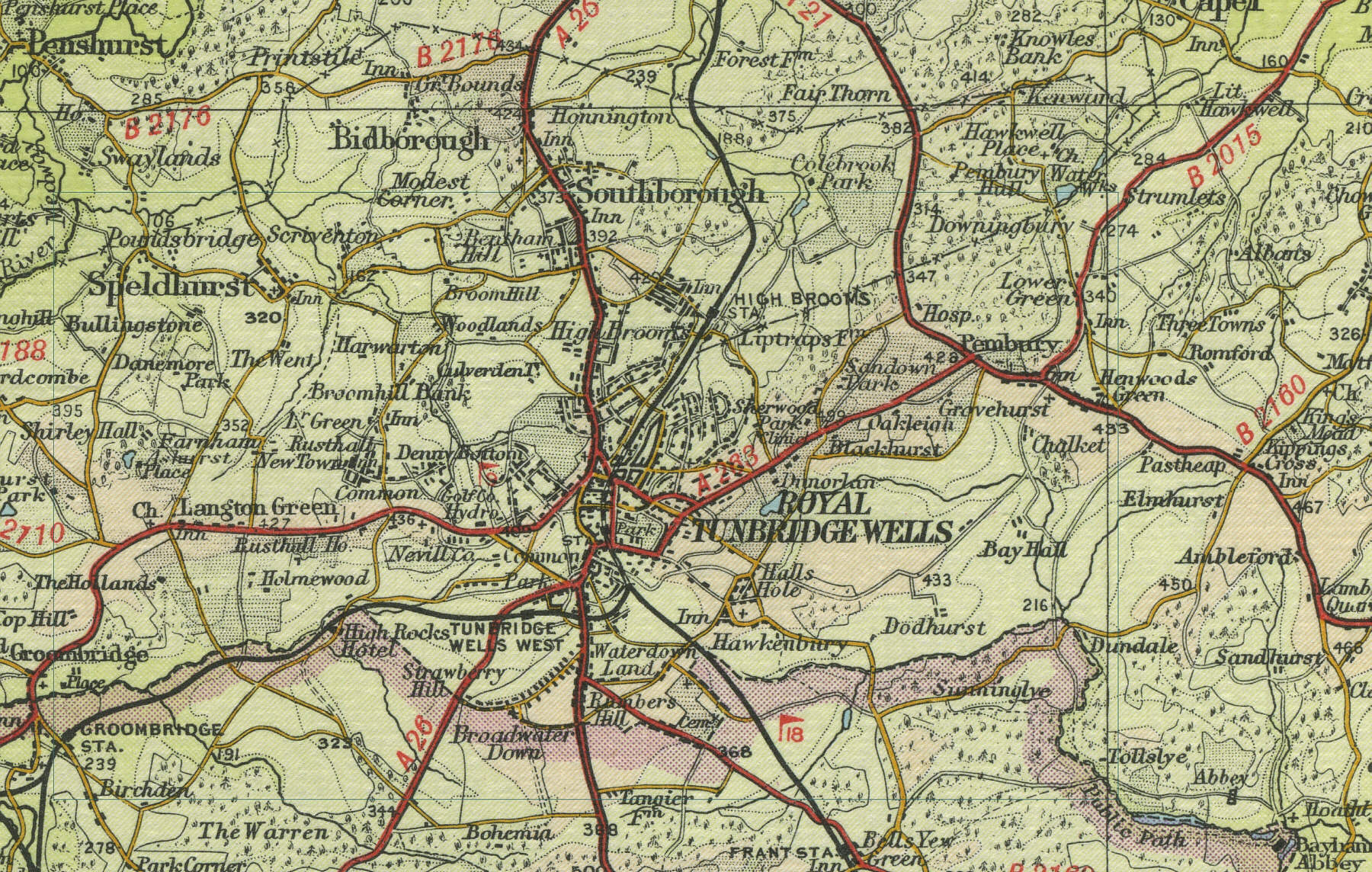
Tunbridge Wells
Tunbridge Wells grew up as a Spa town throughout the seventeenth and eighteenth centuries. Located 14 miles east of East Grinstead on the A26, Royal Tunbridge Wells has a current population of approaching 50,000. The town has a museum, art gallery, theatre and county cricket ground, along with many fine parks and gardens and an attractive common, with outcrops of the local sandstone rock, the source of its mineral waters.
The map below shows
the features of the town of Tunbridge Wells as it was in the mid
twentieth century. Click on a selected area of the map below to see an
enlargement.
|