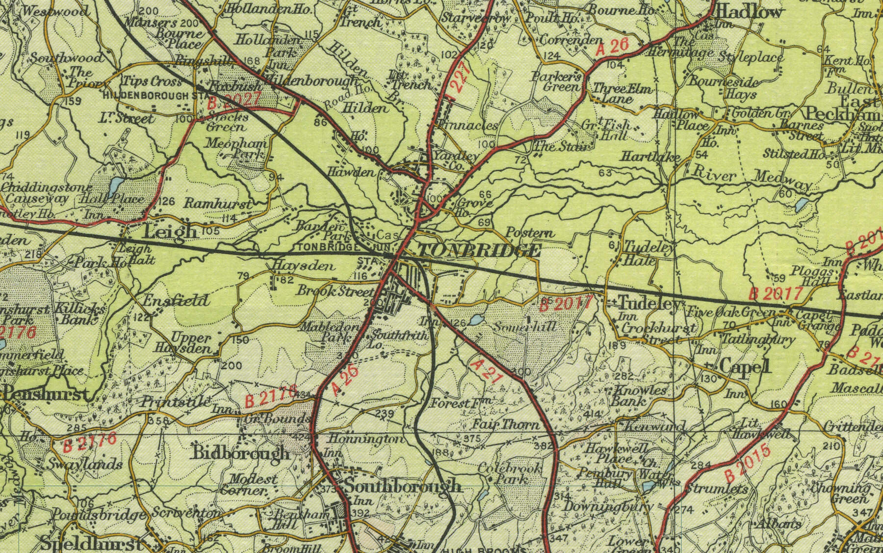
Old Maps  
     Map Index England Scotland Wales Interactive maps Bookshop  
 
  Home
  England
  Scotland
  Wales
  Google town maps
  Bookshop
  Sitemap


Tonbridge

Built at a forging point on the River Medway, Tonbridge, five miles north of Tunbridge Wells, was of strategic importance from Norman times, with a castle guarding the crossing. This prosperous Kent market town now has a population of over 30,000. The map below shows the features of the town of Tonbridge as it was in the mid twentieth century. Click on a selected area of the map below to see an enlargement.


Tonbridge town map

Map of Tonbridge

Old map of the town of Tonbridge circa 1950

 
Click on a selected area of the map to enlarge
 

Map Key

The maps on this website have been reproduced with the permission of Collins Bartholomew


Home ] Map Index ] England ] Scotland ] Wales ] Sitemap ] Links ] Privacy ]
 

copyright © 2007  www.oldemaps.co.uk