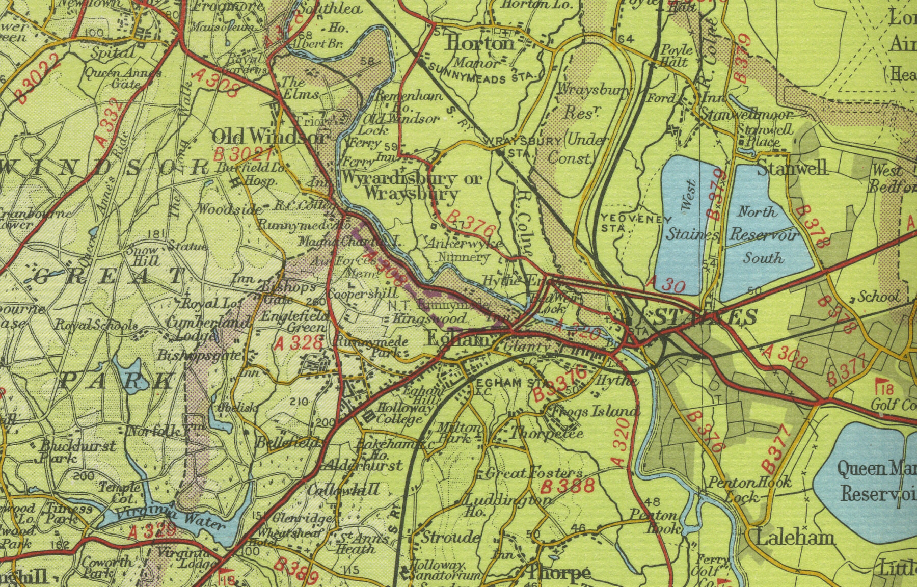
Old Maps  
     Map Index England Scotland Wales Interactive maps Bookshop  
 
  Home
  England
  Scotland
  Wales
  Google town maps
  Bookshop
  Sitemap


Staines

Staines, in Surrey, was an early staging post on the way from London to the West Country, located six miles south east of Windsor at the bridging point over the Rivers Thames and Colne. The town grew throughout the eighteenth century and has a current population in excess of fifty thousand. The map below shows the features of the town of Staines as it was in the mid twentieth century. Click on a selected area of the map below to see an enlargement.


 Staines town map

Map of Staines

Old map of the town of Staines circa 1950

 
Click on a selected area of the map to enlarge
 

Map Key

The maps on this website have been reproduced with the permission of Collins Bartholomew


Home ] Map Index ] England ] Scotland ] Wales ] Sitemap ] Links ] Privacy ]
 

copyright © 2007  www.oldemaps.co.uk