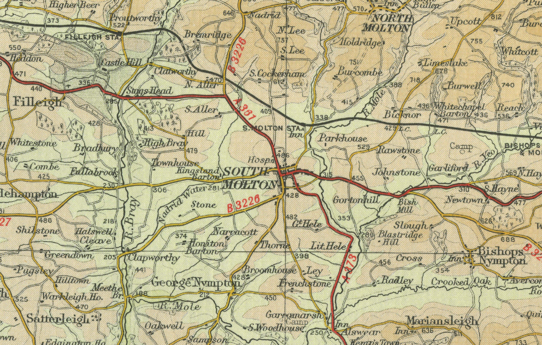
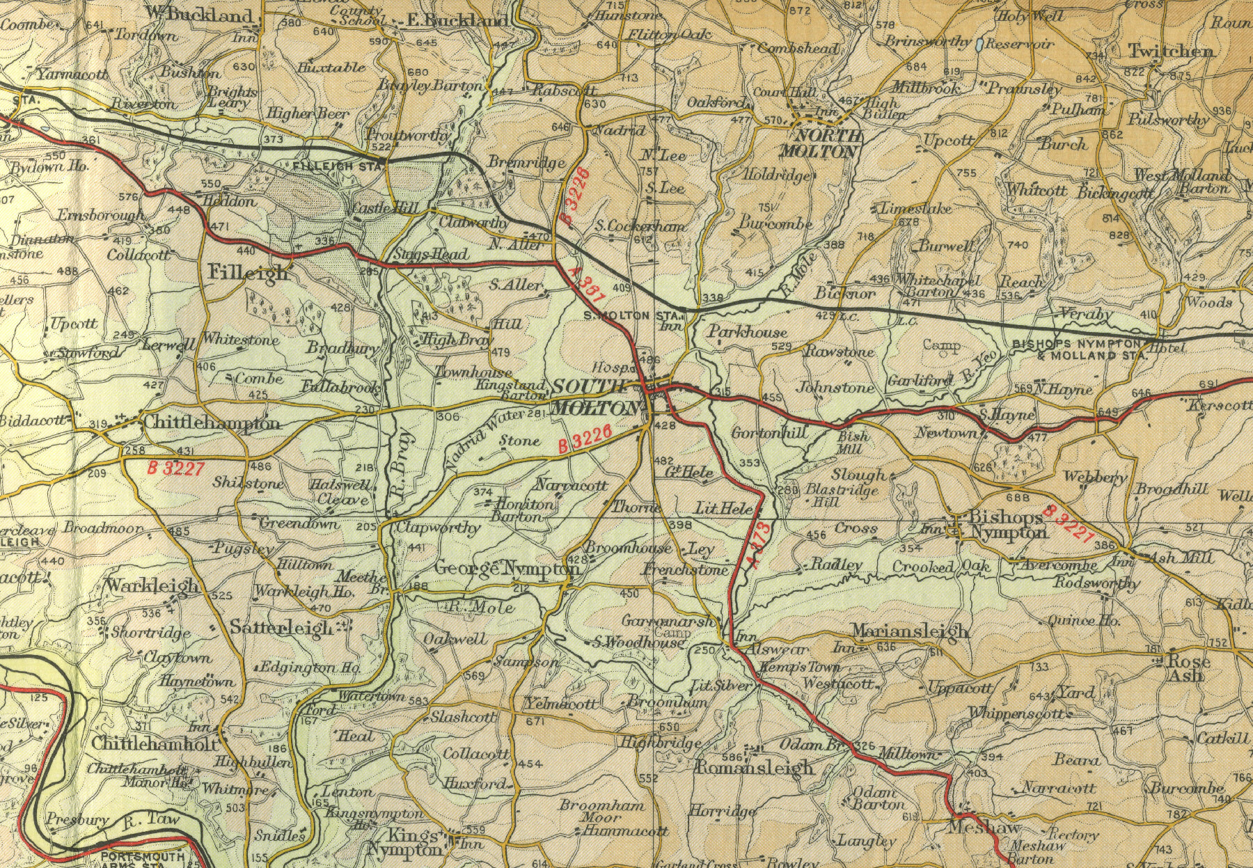
South Molton
The Devon town of South Molton lies
about ten miles to the south east of Barnstaple, on the edge of Exmoor.
Now a small market town with a population of around three thousand,
serving the local sheep and cattle farming area, South Molton was once
at the centre of a thriving iron and copper mining industry and, up to
the mid nineteenth century, was also prominent in the wool trade.
The map below shows the town of South Molton as it was in the mid
twentieth century. Click on a selected area of the map below to see an
enlargement.
|