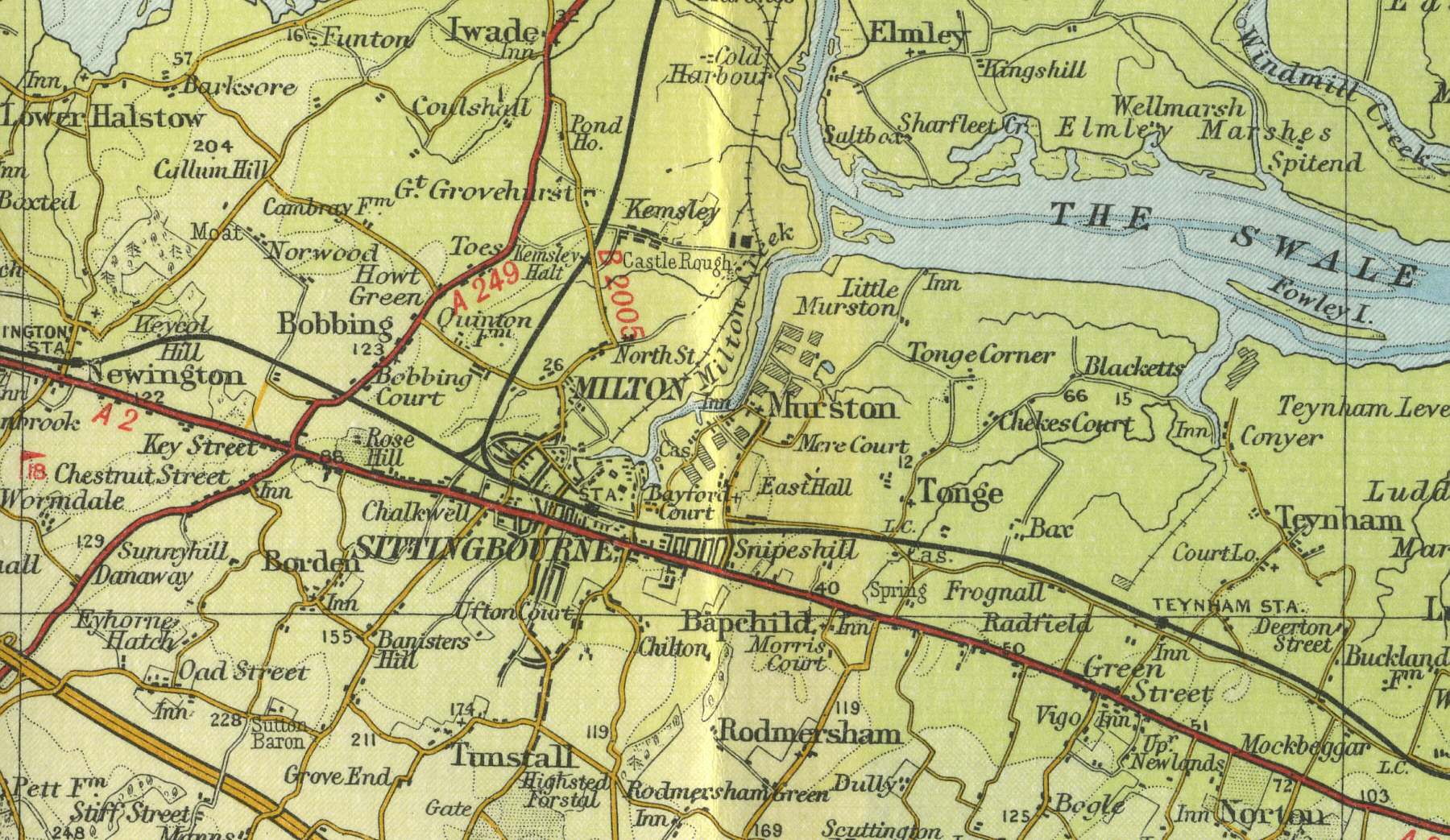
Old Maps  
     Map Index England Scotland Wales Interactive maps Bookshop  
 
  Home
  England
  Scotland
  Wales
  Google town maps
  Bookshop
  Sitemap


Sittingbourne

Sittingbourne, population over 30,000, lies eleven miles east of Rochester in Kent. It grew in importance as a paper making town, situated on an inlet of the River Swale, connected to with the dock at Kemsley via a four mile long railway track. It remains an important industrial centre. The map below shows the features of the town of Sittingbourne as it was in the mid twentieth century. Click on a selected area of the map below to see an enlargement.


 Sittingbourne town map
 

Map of Sittingbourne

Old map of the town of Sittingbourne circa 1950

 
Click on a selected area of the map to enlarge
 

Map Key

The maps on this website have been reproduced with the permission of Collins Bartholomew


Home ] Map Index ] England ] Scotland ] Wales ] Sitemap ] Links ] Privacy ]
 

copyright © 2007  www.oldemaps.co.uk