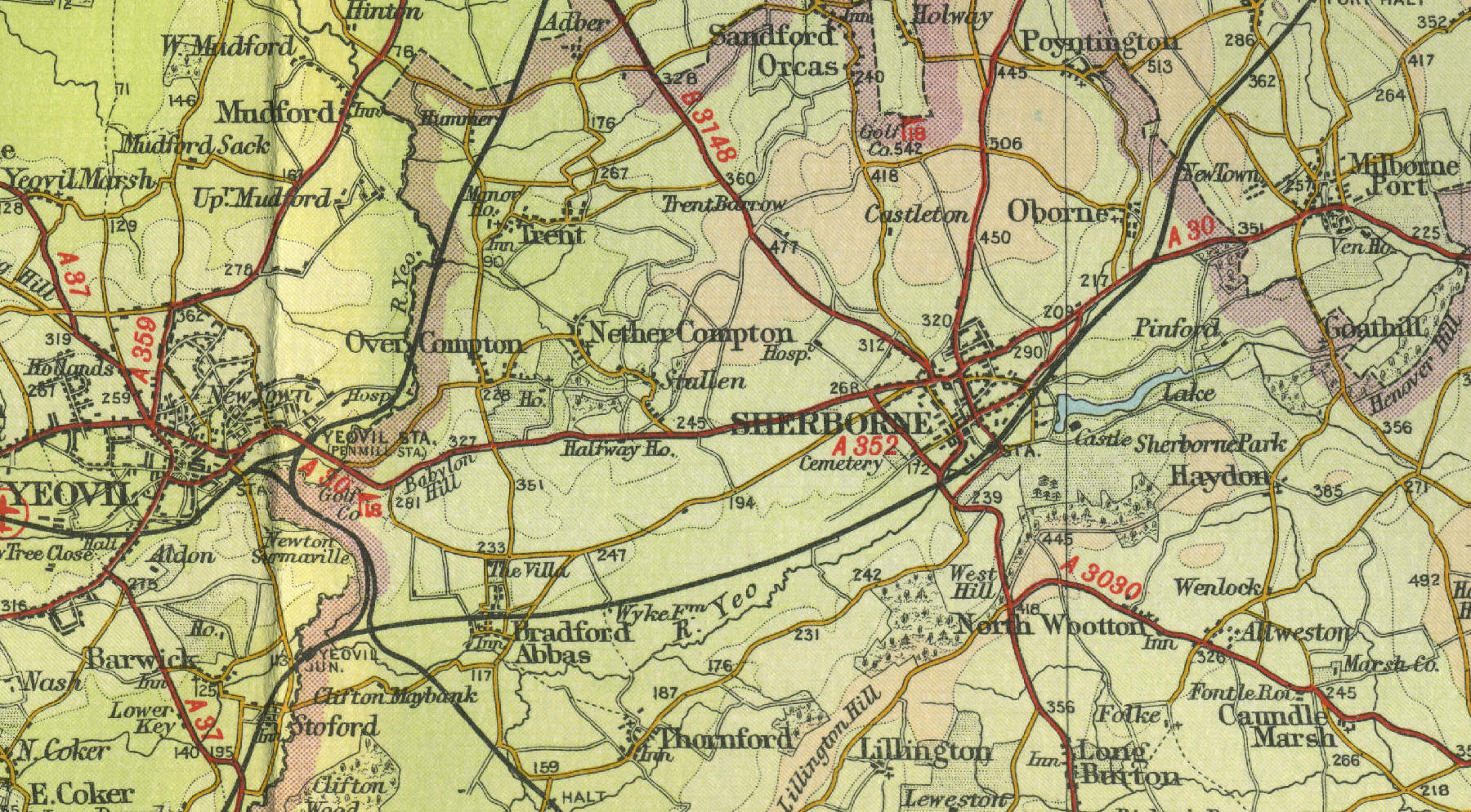
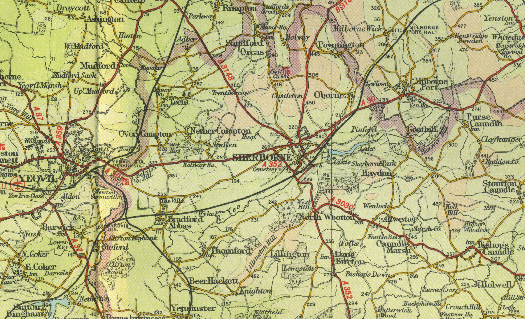
Sherborne
The magnificent Sherborne Abbey,
with its roof of golden ham stone, stands at the centre of this ancient
Dorset town. Many of the town's buildings date back to the sixteenth
century. Sherborne can boast of two castles, the Old and the New. The
Old was almost completely destroyed by Cromwell's forces; the New, built
as a home by Sir Walter Raleigh, is now open to the public and houses
many art treasures. Sherborne, a town of about ten thousand people lying
to the east of Yeovil, has always been a place of education, and has
major boys' and girls' public schools. Other industries include silk
making and dairy farming. The map
below shows the town of Sherborne as it was in the mid twentieth
century. Click on a selected area of the map below to see an
enlargement.
|