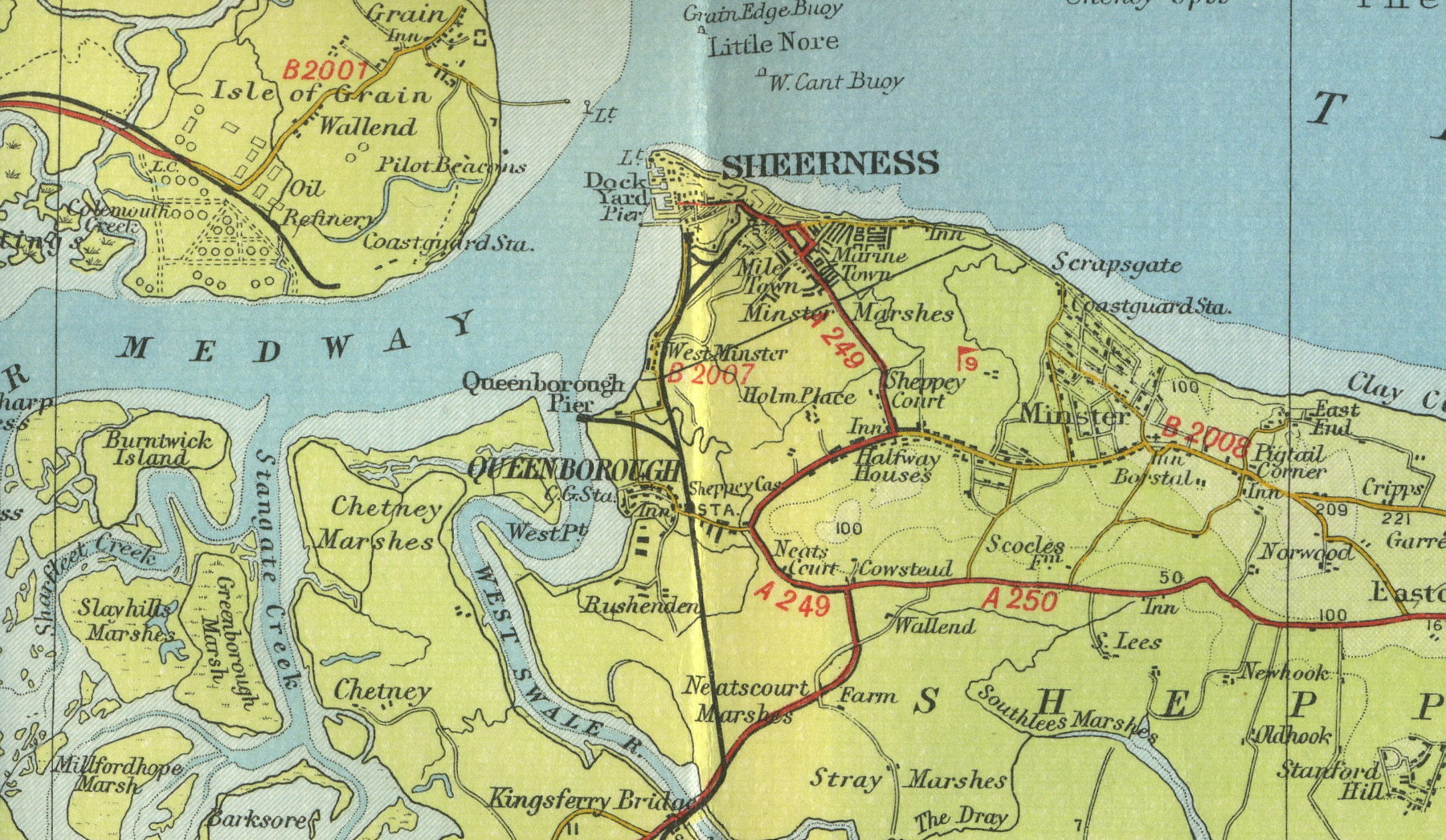
Sheerness
Sheerness, Kent, situated seven miles north of Sittingbourne, sits at the western tip of the Isle of Sheppey where the River Medway meets the Thames. The town, with its population of around 15,000, grew from its origins as a seventeenth century post and dockyard. An important naval port until 1960, Sheerness is now a developing commercial port and holiday resort.
The map below shows
the features of the town of Sheerness as it was in the mid twentieth
century. Click on a selected area of the map below to see an
enlargement.
|