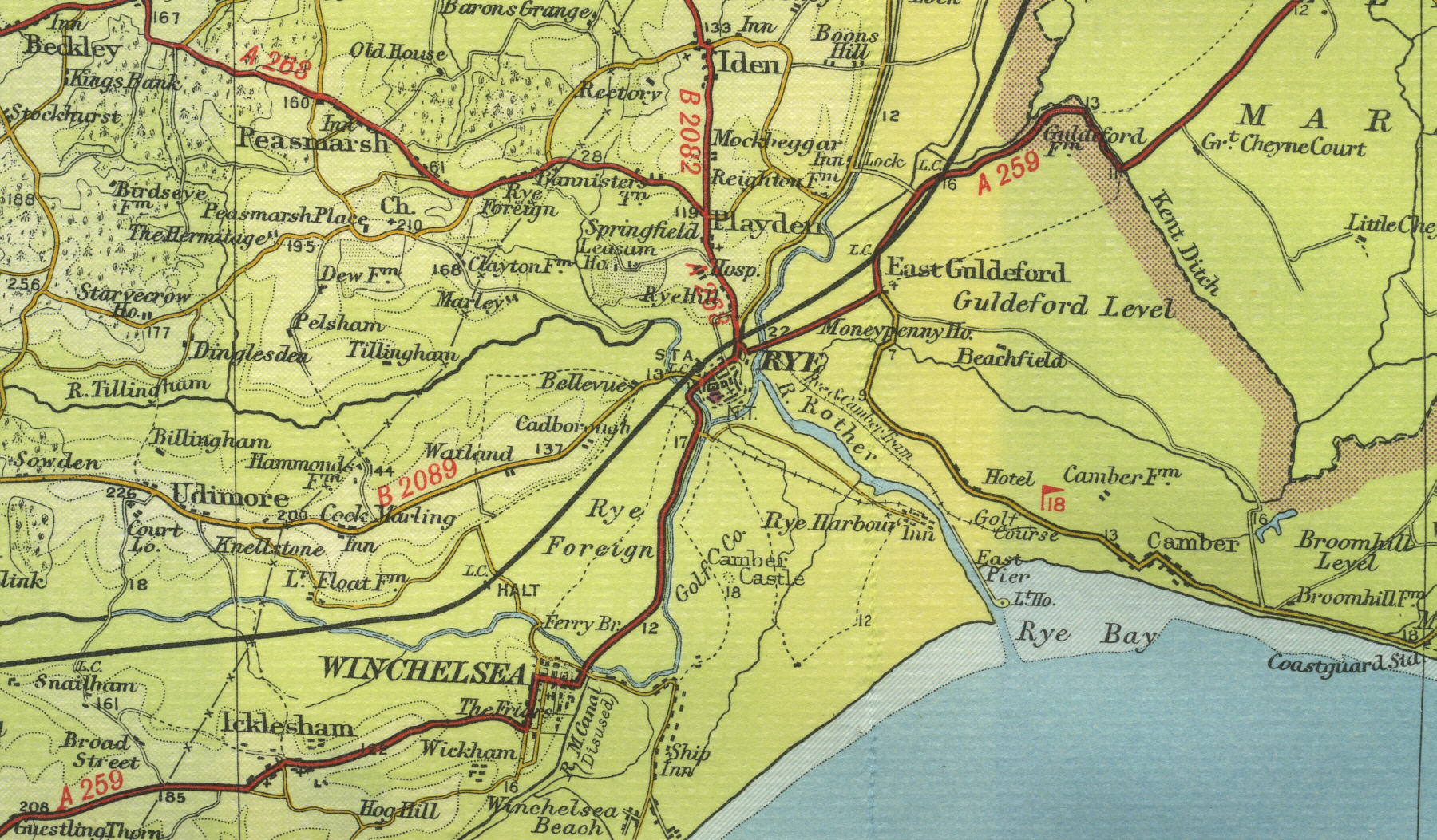
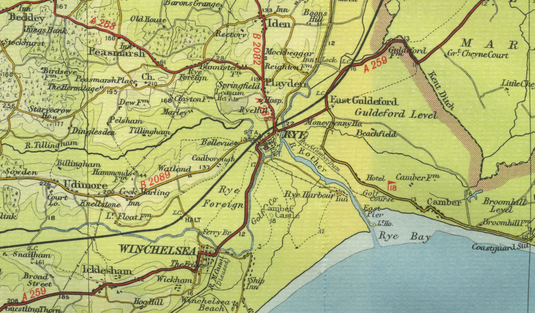
Rye
Rye, twelve miles north east of Hastings with a current population of about 5000, was once a flourishing port in Elizabethan times, but the harbour silted up in the sixteenth century and the sea has continued to recede, leaving the town two miles inland. Many of the buildings date from Elizabethan times, the town's best known inn, the Mermaid, dating from the early fifteenth century.
The map below shows
the features of the town of Rye as it was in the mid twentieth century.
Click on a selected area of the map below to see an enlargement.
|