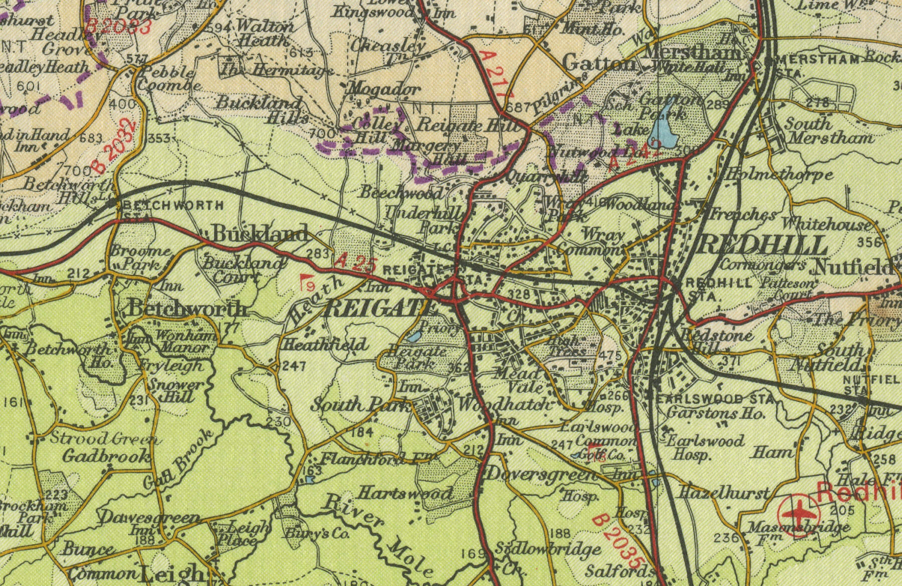
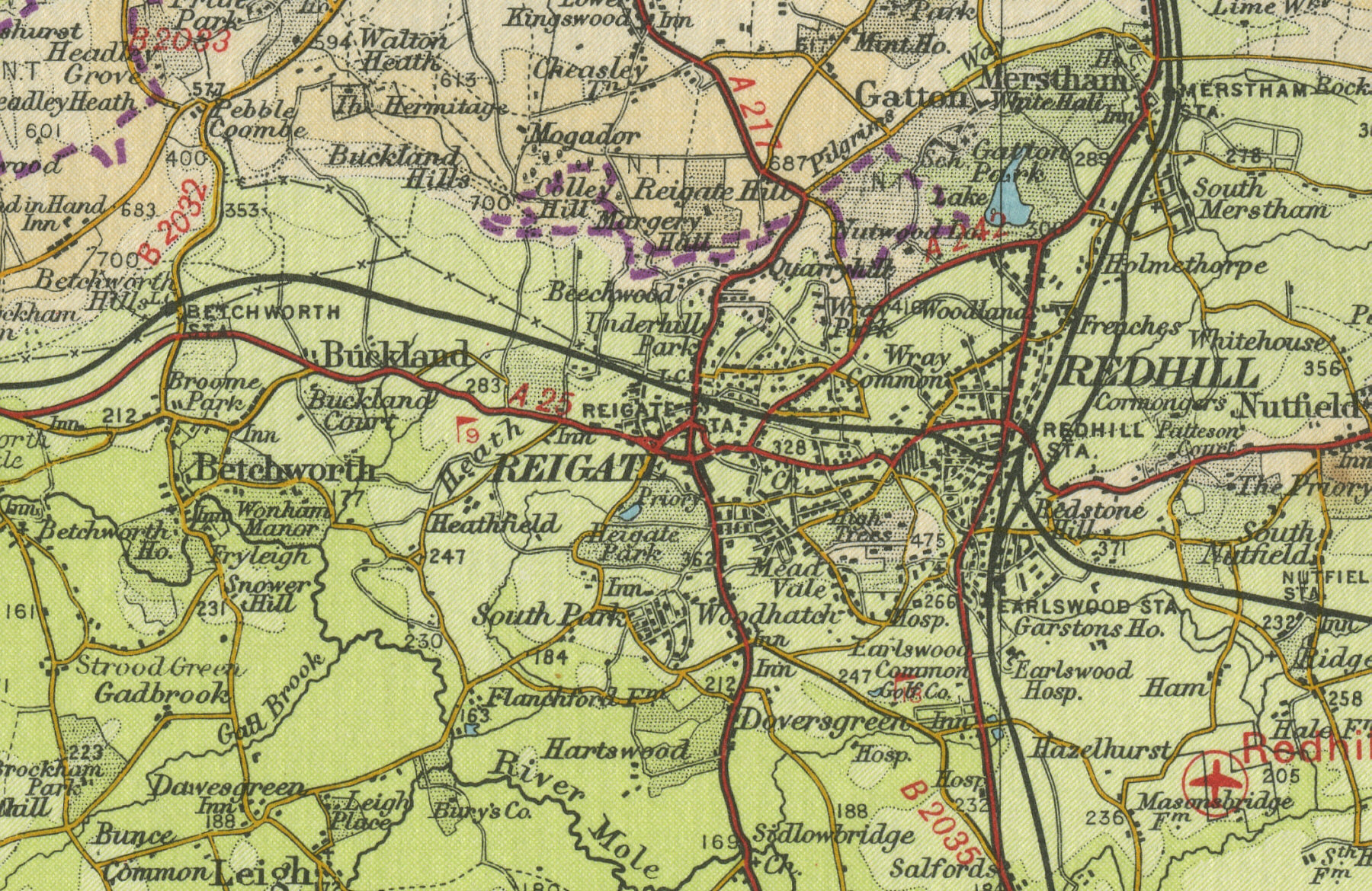
Reigate
Reigate, Surrey, lies six miles east of Dorking on the A25. With a population of over 50,000, Reigate has developed since Norman times. Its medieval underground caves and tunnels served as storage and air raid shelters during the Second World War. The Church of St Mary Magdalene housed one of the oldest public libraries in England.
The map below shows
the features of the town of Reigate as it was in the mid twentieth
century. Click on a selected area of the map below to see an
enlargement.
|