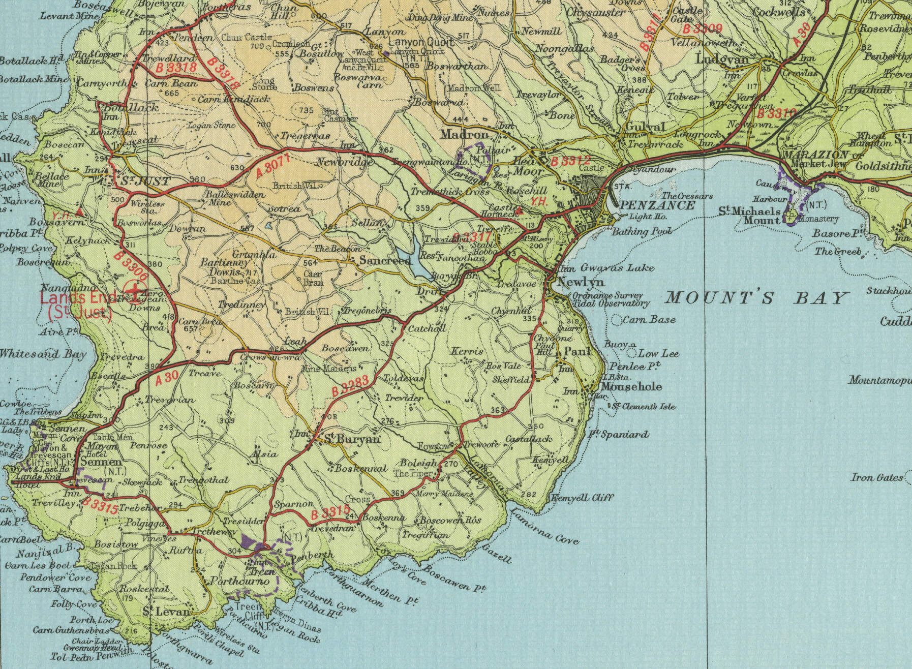
Penzance
The Cornish port of Penzance,
situated eight miles south west of Hayle, grew on the strength of the
trade in locally produced tin. Today Penzance, with a population of
around 20,000, is one of Cornwall's largest towns and most well
established holiday resorts, visitor attractions including the sandy
beaches of Mounts Bay, St Michael's Mount and the rare and exotic plants
of Trengwainton Gardens, associated with the exceptionally warm climate
of Penzance, the most south westerly town on the English mainland.
The map below shows the town of Penzance as it was around the mid
twentieth century. Click on a selected area of the map below to see an
enlargement.
|