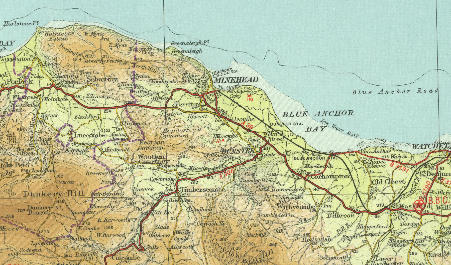
Minehead
Minehead, situated about twenty five
miles north west of Taunton on the Somerset coast, was once an important
port, for both herring fishermen and for the shipping of wool, cattle
and coal. With the silting of the harbour in the late eighteenth
century, and the disappearance of the herring shoals, Minehead's
importance as a port diminished. The town's fortunes took a turn for the
better with the coming of the railway in the mid nineteenth century and
Minehead, with its population of around 9000, now relies heavily on
summer visitors, offering wide sandy beaches and mild climate.
The map below shows the town of Minehead
as it was in the mid twentieth century. Click on a selected area of the
map below to see an enlargement.
|