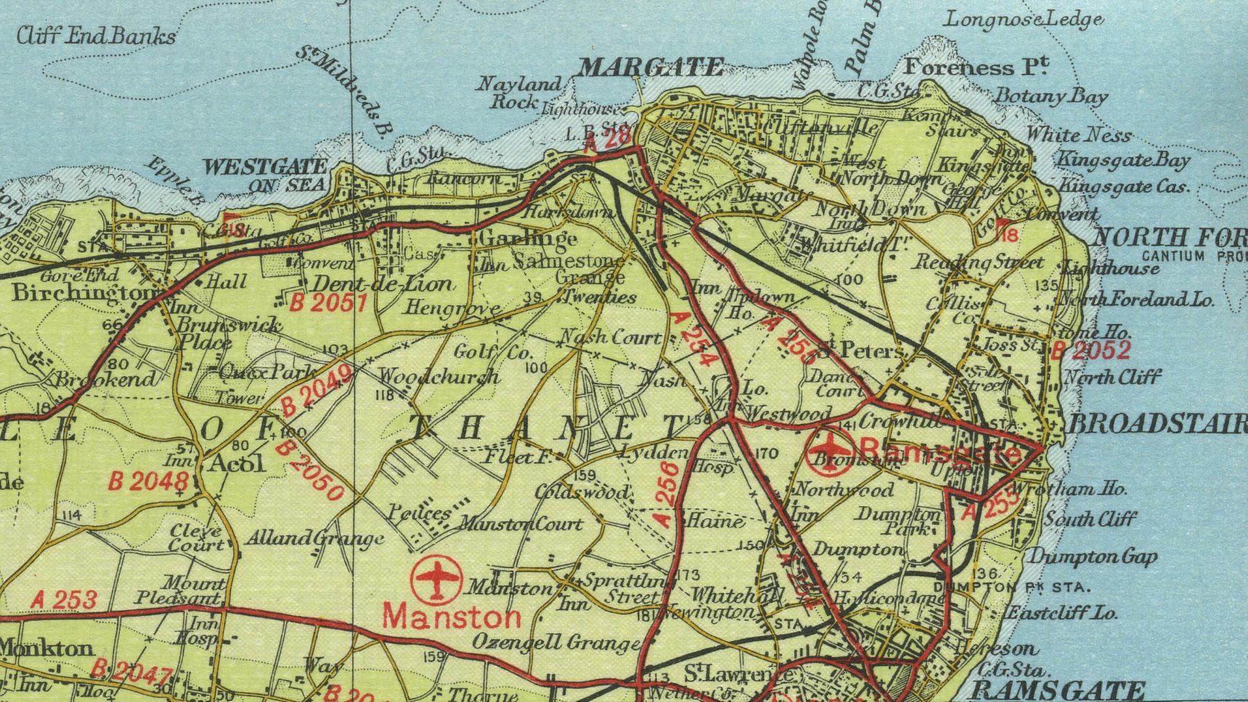
Margate
Situated 16 miles to the north east
of Canterbury, has a population of over 50,000. Margate's proximity to
London and its nine miles of sandy beaches made it a popular resort in
Victorian times and it continued to develop throughout the twentieth
century as a seaside resort, sometimes referred to as the Blackpool of
the south, with its large funfair and amusement park.
The map below shows
the features of the town of Margate as it was in the mid twentieth
century. Click on a selected area of the map below to see an
enlargement.
|