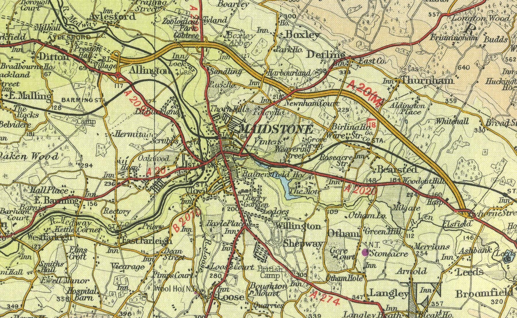
Maidstone
Located 8 miles south of Rochester on the A20, Maidstone, the county town of Kent with a population of more than 70,000, stands on the River Medway in the rich farmland of the Vale of Kent. An important administrative centre form Saxon times and a natural market centre, gathering the fruit and vegetables from the surrounding area for shipment to London. The area is the primary producer of hops for beer making in the UK.
The map below shows
the features of the town of Maidstone as it was in the mid twentieth
century. Click on a selected area of the map below to see an
enlargement.
|