Leatherhead
Leatherhead, Surrey, is situated 5 miles north of Dorking with a population of over 40,000. Its name is derived for the Saxon for
"public ford"ť, the original settlement located at a fording point on the River Mole, where it dissects the North Downs. Its attractive narrow streets and historic inns are a reminder of its importance in coaching days. There was a church here in Anglo Saxon times and part of the present church buildings date back to the 12th century.
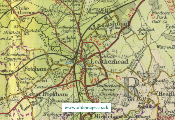
The map below shows
the features of the town of Leatherhead as it was in the mid twentieth
century. Click on a selected area of the map below to see an
enlargement.
|