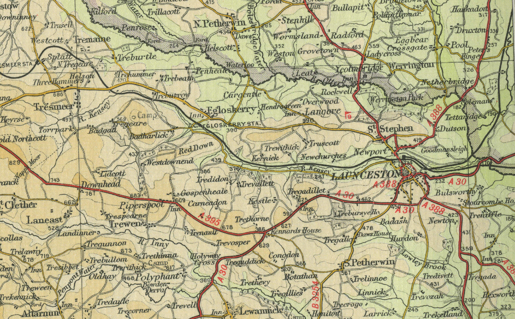
Launceston
Launceston, situated in the valley of
the River Kensey about twenty miles south west of Okehampton, was, until
the early nineteenth century, capital of Cornwall and lay on the main
route into Devon. Launceston, population a little over 5000, is now
principally an agricultural market town with a regular weekly market.
The town features some fine Georgian buildings. Also notable is the
church of St Mary Magdalene, with its sixteenth century carvings.
The map below shows the town of Launceston as it was around the middle of
the twentieth century. Click on a selected area of the map below to see
an enlargement.
|