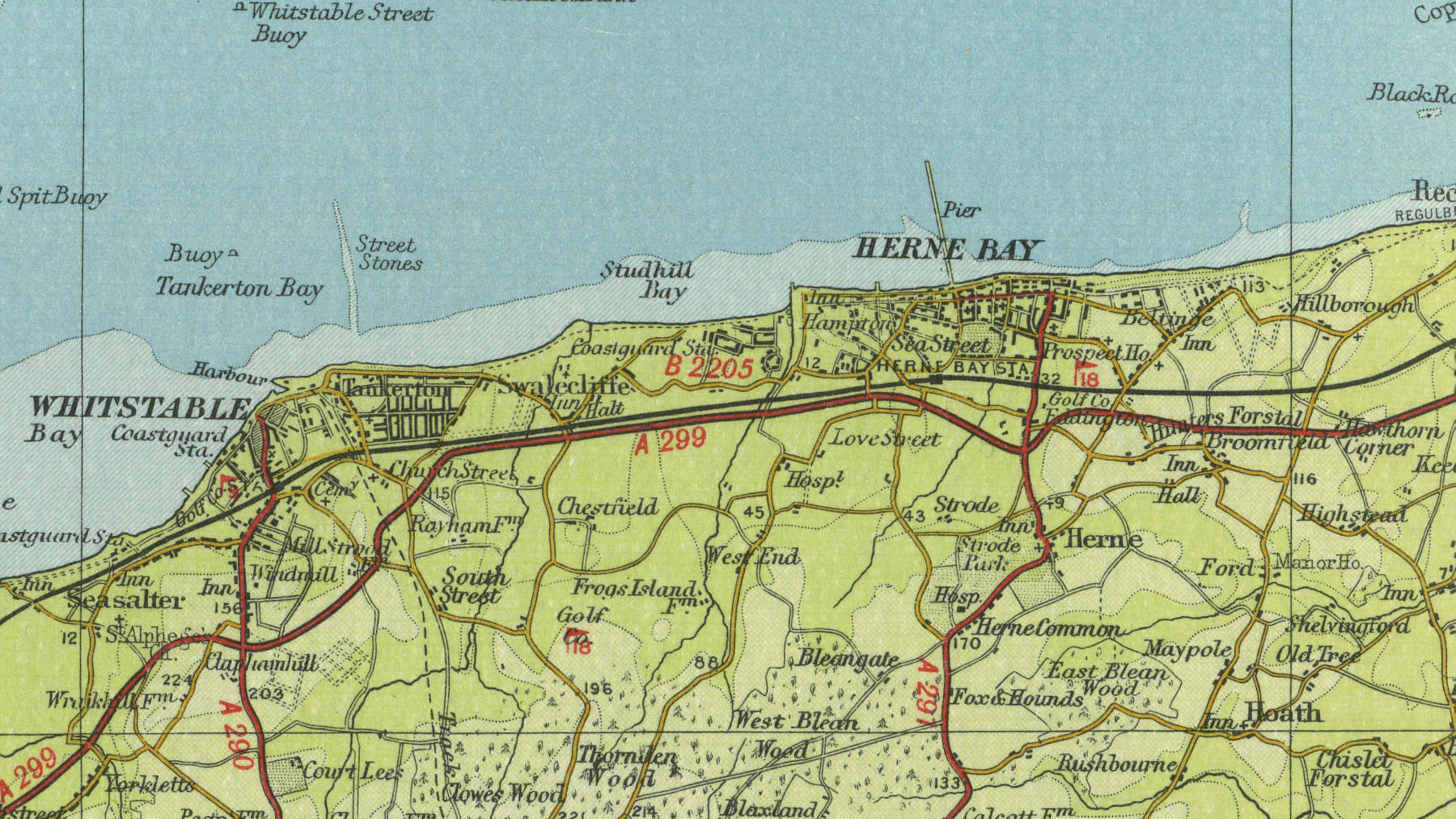
Herne Bay
Herne Bay lies on the north Kent coast nine miles north of Canterbury. With a population of around 30,000, Herne Bay developed as a seaside resort in Victorian times. Still a popular holiday resort, with its seven miles of shingle beach, popular with bathers, anglers and sailors, Herne Bay has become an important residential area, with convenient commuter links to London.
The map below shows the features of the town of Herne Bay as it was in
the mid twentieth century. Click on a selected area of the map below to
see an enlargement.
|