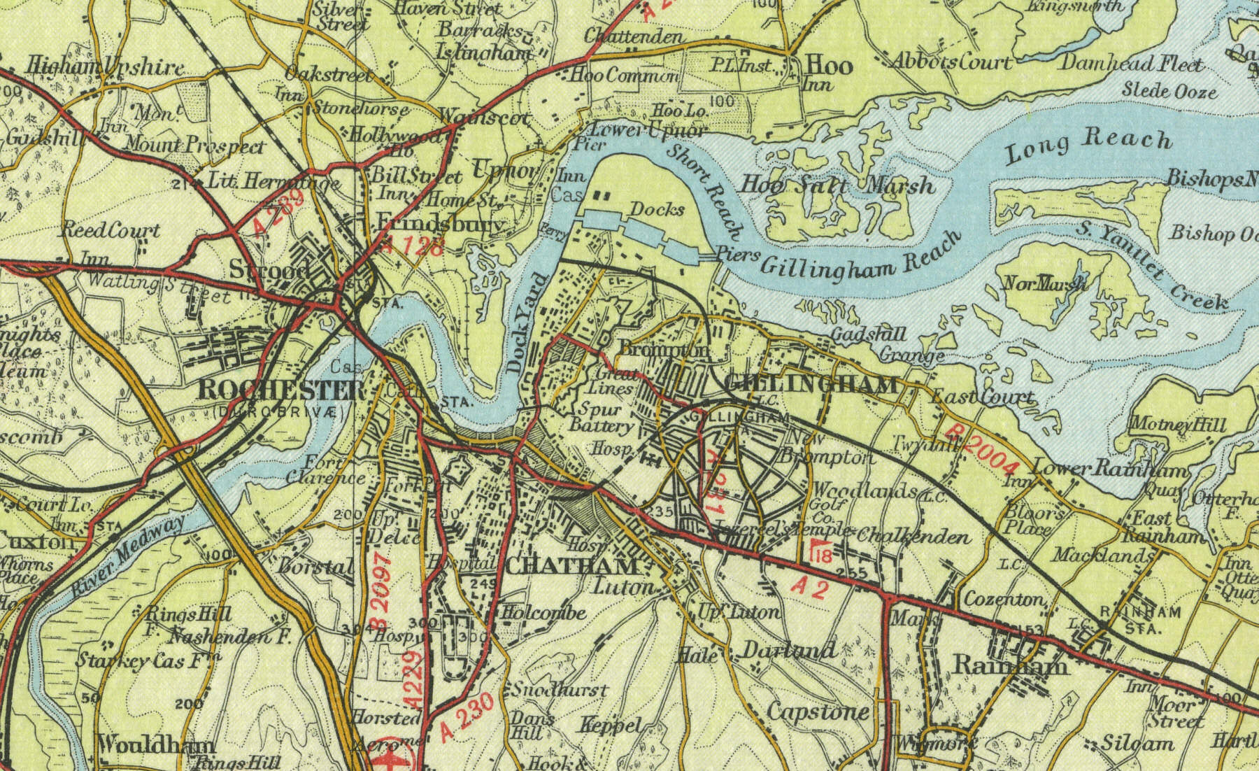
Gillingham
Gillingham, in Kent, sits on the
River Medway. The town, with a current population in the region of
ninety thousand, did not come into prominence until the late Middle
Ages, when its value as a docking and shipbuilding centre was realised.
The Royal Dockyard, which Gillingham shares with neighbouring Chatham,
dates from the time of Queen Elizabeth 1st. By the early eighteenth
century, the dockyard was regarded as one of the finest in the country.
Nelson's flagship Victory was built here. Gillingham is also home to the
Royal School of Military Engineering and the Royal Engineers Museum.
The map below shows the features of the town of Gillingham as it was in
the mid twentieth century. Click on a selected area of the map below to
see an enlargement.
|