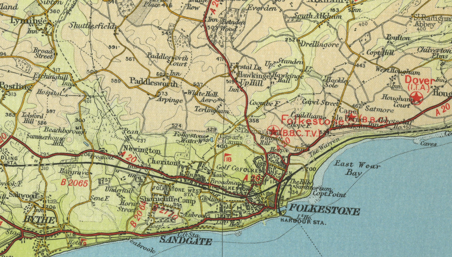
Folkestone
Situated 8 miles to the south east of Dover, with a population approaching 50,000, Folkestone originated as a fishing village, its small fleet operating from the picturesque harbour. Folkestone is now a busy cross channel port, second only to its near neighbour Dover. Since the coming of the railway in the mid nineteenth century, Folkestone has developed into a busy holiday resort, popular with day trippers, catered for in the many pubs which line the narrow cobbled streets.
The map below shows the features of the town of Folkestone as it was in
the mid twentieth century. Click on a selected area of the map below to
see an enlargement.
|