Faversham
Dating from Saxon times, Faversham is situated on the north Kent coast near the M2 motorway. Once a busy post, Faversham is now primarily a thriving market town. A rich architectural history is evident in the fine buildings dating from the Tudor and Stuart periods and the towns can claim one of the best collections of municipal charters, dating from the thirteenth century, some of which can be seen in the municipal archives in the Council Chambers.
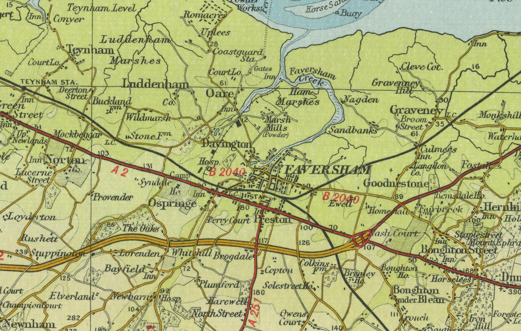
The map below shows the features of the town of Faversham as it was in
the mid twentieth century. Click on a selected area of the map below to
see an enlargement.
|