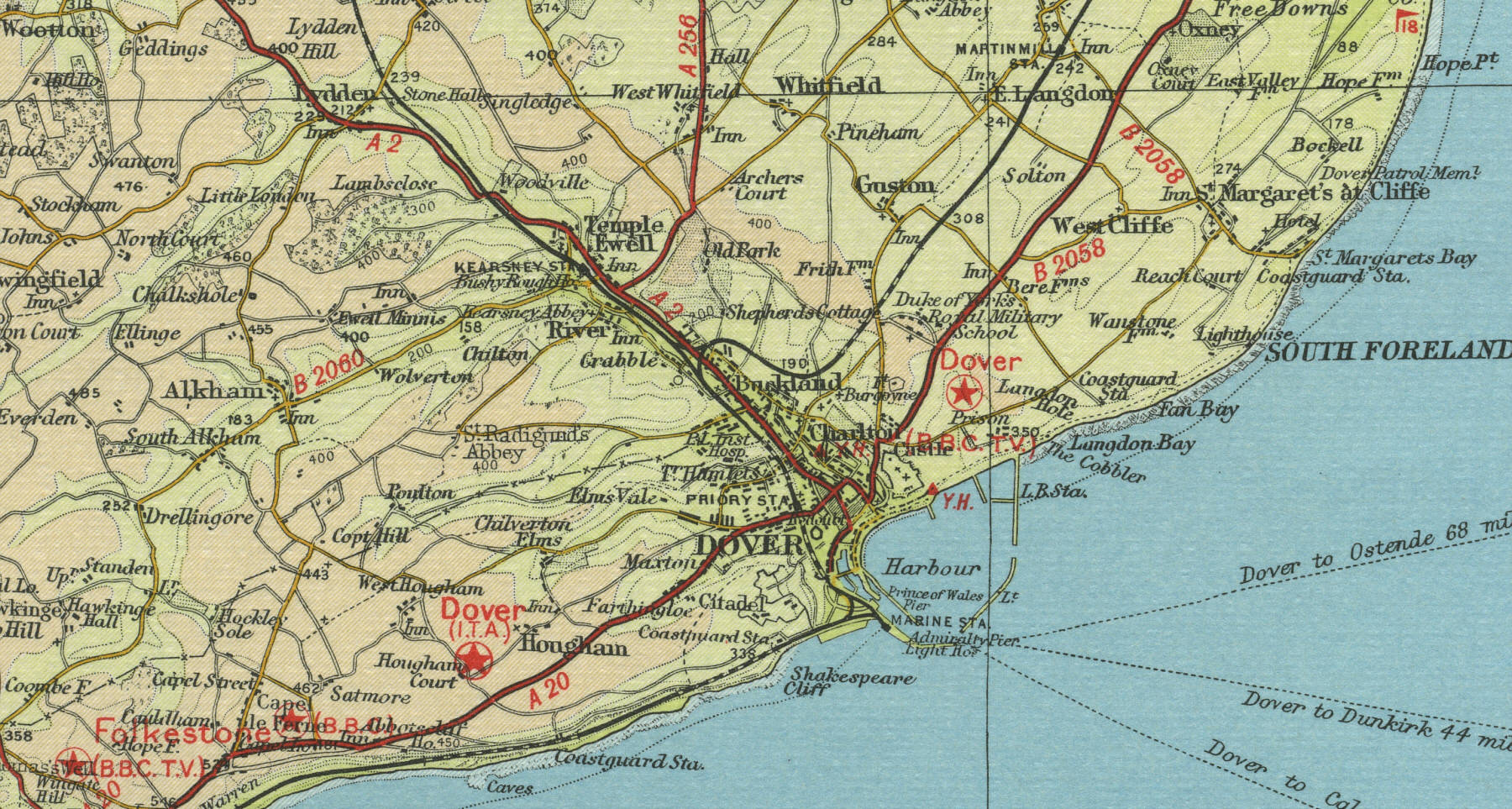
Dover
Set amid the white chalk cliffs of the Kent coast, Dover, population around 35,000, has for many centuries served as the gateway to the British Isles from Europe. Situated only 21 miles from Calais across the English Channel, Dover is a busy passenger post, carrying millions of passengers to and from the continent by ferry and hovercraft. Dover castle, dating originally from Roman times but largely Norman in structure, stands high on a hill overlooking the harbour.
The map below shows the features of the town of Dover as it was in
the mid twentieth century. Click on a selected area of the map below to
see an enlargement.
|