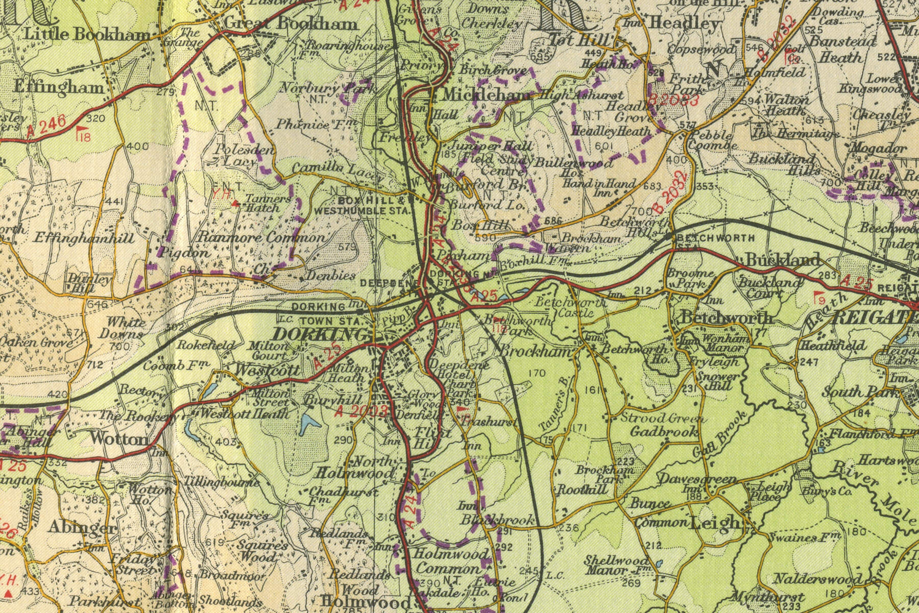
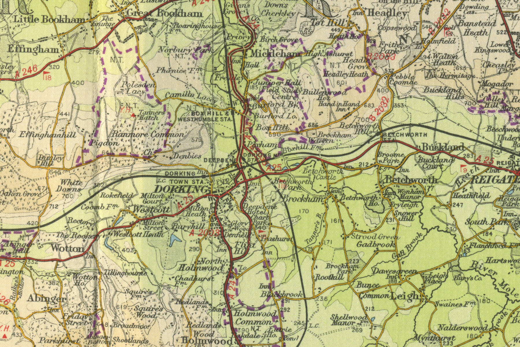
Dorking
Dorking is located 13 miles east of Guildford, set among the Surrey Downs. An ancient market town, lying where the old Pilgrim's Way met the Roman Stane Street, Dorking now serves as a dormitory town for the many London commuters, with a population of around 25,000.
The map below shows the features of the town of Dorking as it was in
the mid twentieth century. Click on a selected area of the map below to
see an enlargement.
|