Cirencester
Cirencester, a town of around 15,000
people in Gloucestershire, claims the title "capital of the Cotswolds".
The town's history dates back to Roman times, when Cirencester was
second only to London in size. The town was destroyed by the Saxons in
the sixth century and later rebuilt on the same site. The development of
sheep farming on the rich pastures of the Cotswolds saw the town grow in
the Middle Ages to become an important wool market town. Cirencester's
large parish church is more like a cathedral and houses many monuments
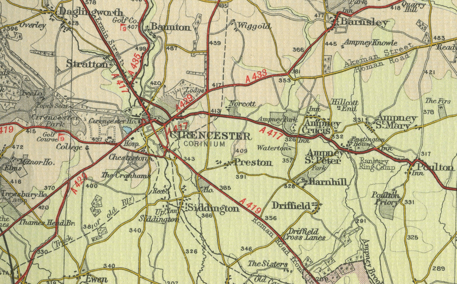
to the wool merchants. The map below shows the town of Cirencester as it
was around the middle of last century.
Click on a selected area of the map below to
see an enlargement.
|