Old Maps


Chesterfield Map

Population 104,000
View an old map of the town of Chesterfield  in Derbyshire as shown on the Bartholomew Half Inch map series of the mid twentieth century.
English Towns
Scottish Towns
Welsh Towns
Map Index
Chesterfield Map

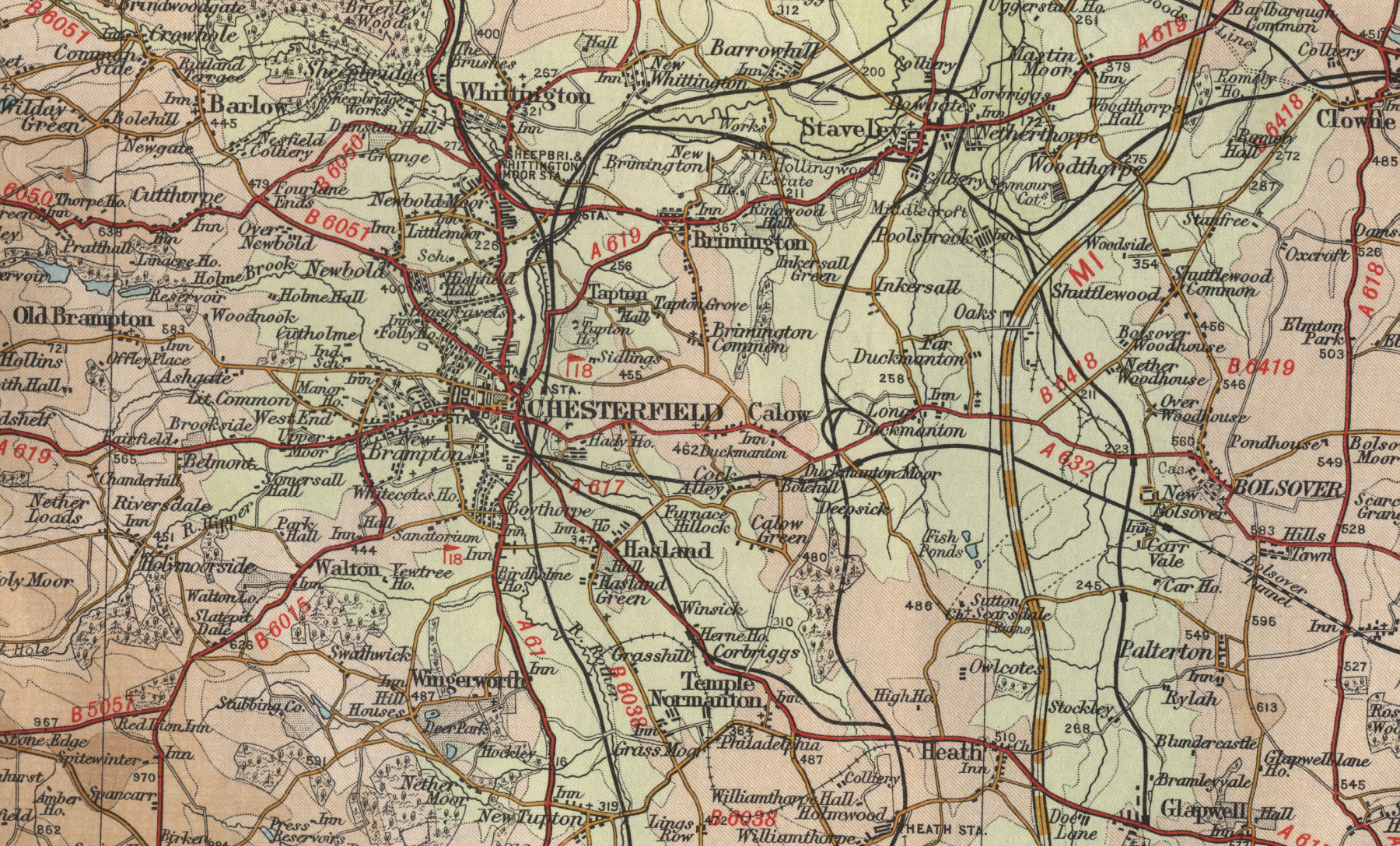
click map to enlarge
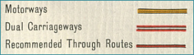
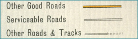
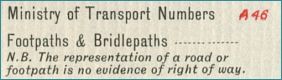
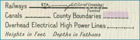
 
Old Maps Key - Roads Old Maps Key - Roads and Tracks
Old Maps Key - Roads and Paths Old Maps Key -  Rail and Canal
Old Maps Key - Parks
Old Maps Key - Height of Land in Feet

Old Town Maps