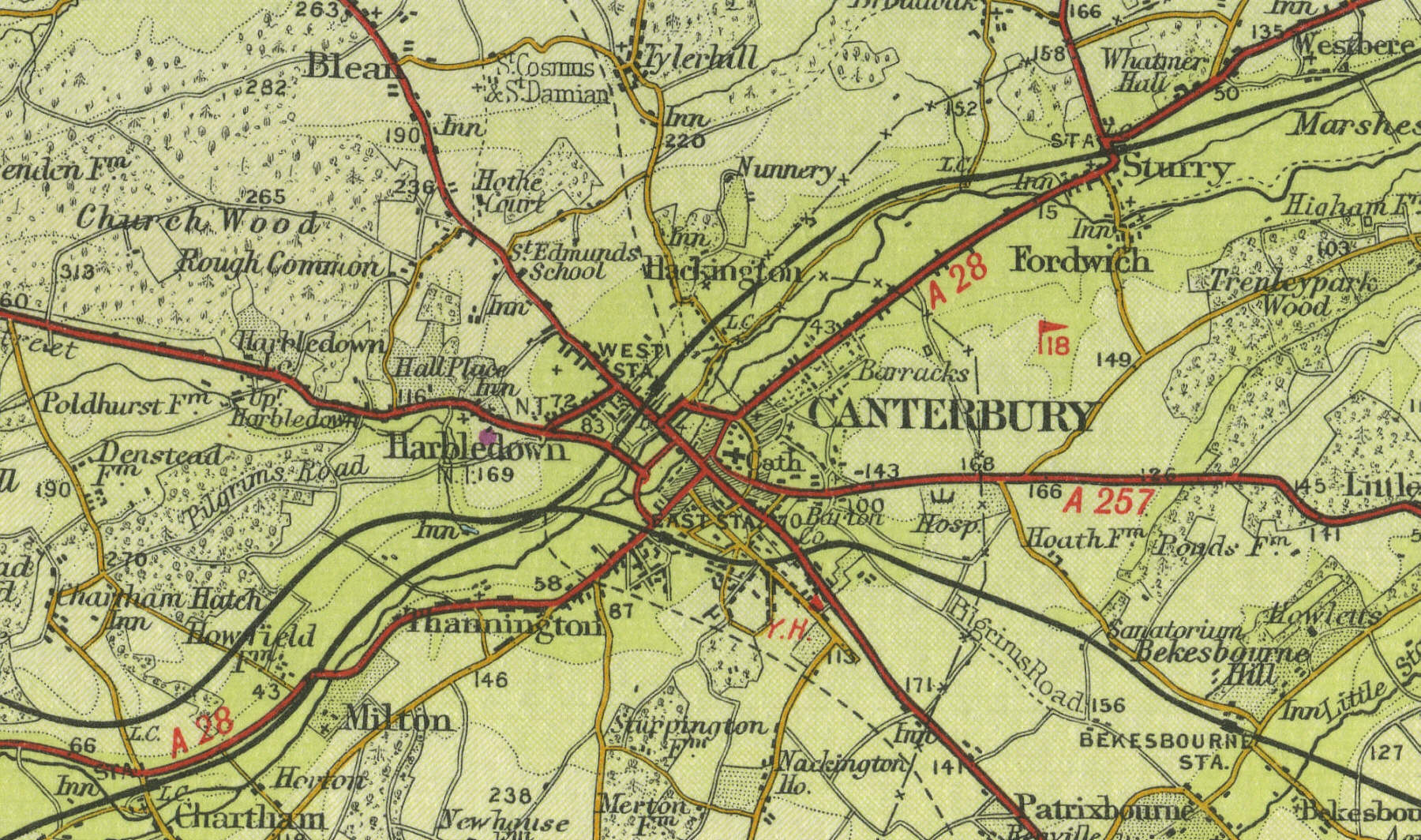
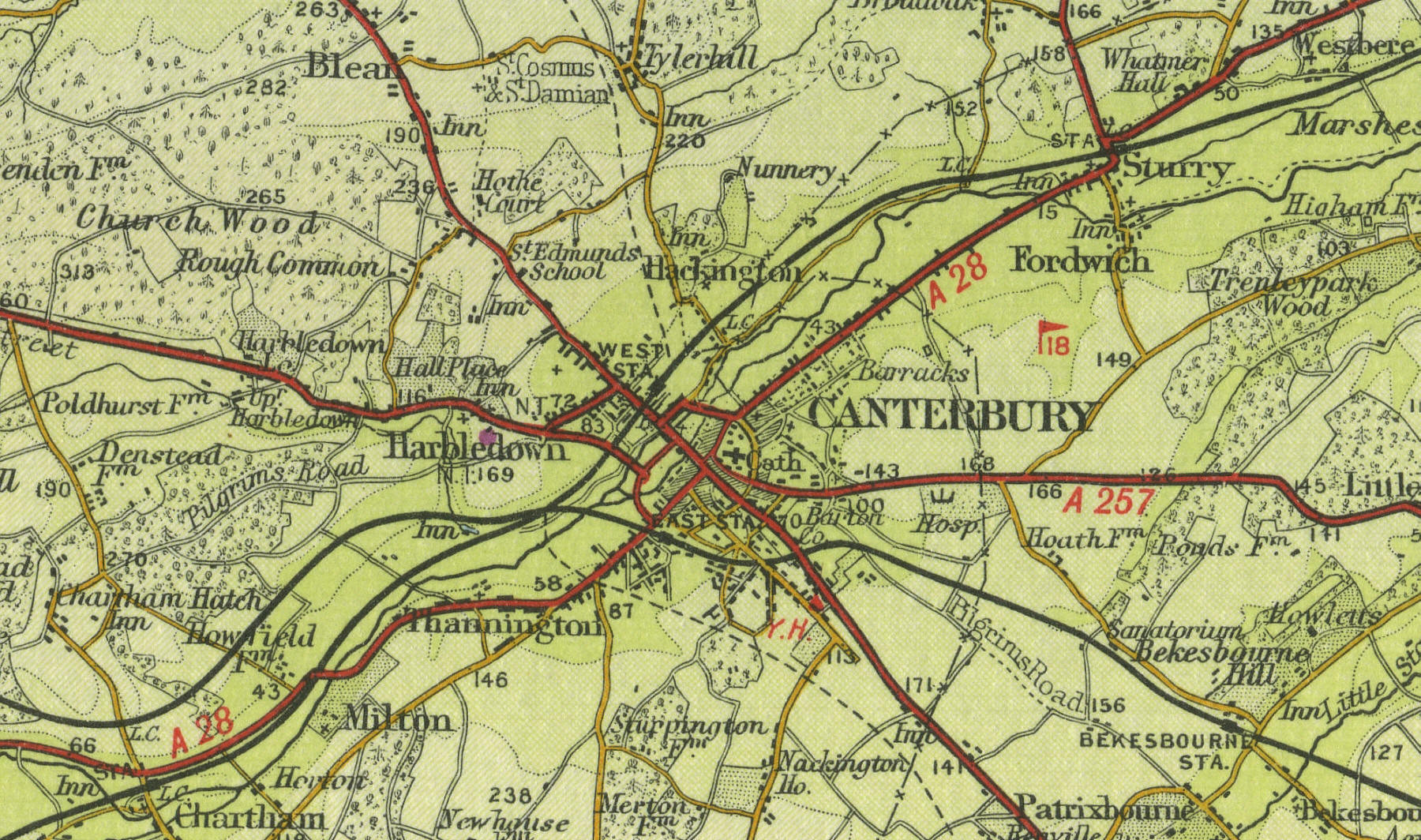
Canterbury
Canterbury, Kent, is located fifteen miles north west of Dover, with a population approaching forty thousand. A centre of religious pilgrimage from as early as the time of St Augustine,
Canterbury's first archbishop, in the early seventh century, Canterbury is now dominated by its magnificent cathedral, built in Norman times, which continues to attract visitors. Parts of the medieval city walls remain and the city has many buildings of historic interest, including the castle keep, St Martin's Church and the ruins of St Augustine's Abbey, dating from 602.
The map below shows the features of the town of Canterbury as it was in
the mid twentieth century. Click on a selected area of the map below to
see an enlargement.
|