|
|
|
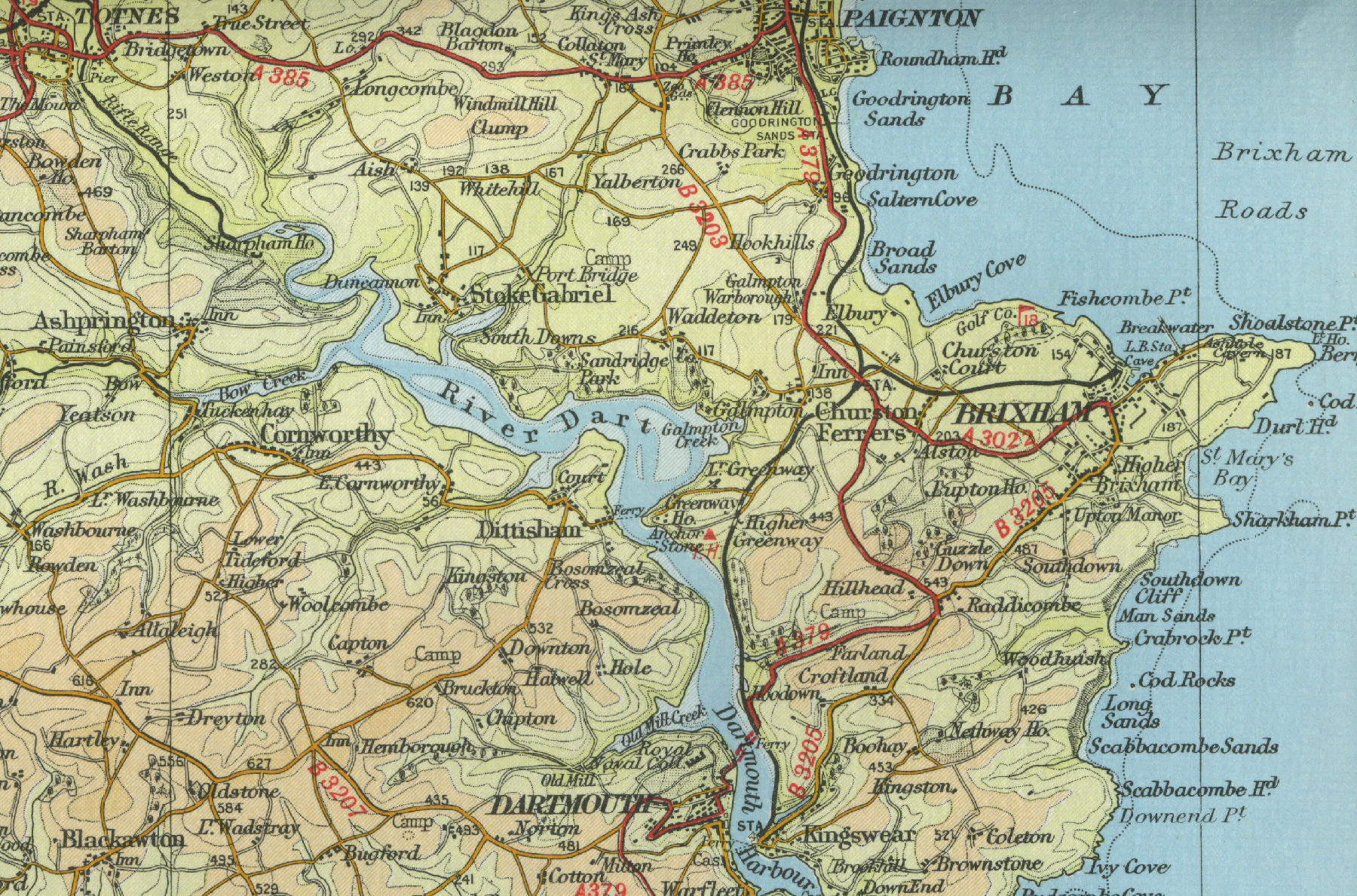
BRIXHAM
Brixham is an attractive fishing port lying on the south side of Tor Bay. During Victorian times, Brixham was the most important fishing port in south Devon, with a fleet of almost 300 trawlers. It was here that William of Orange first set foot on British soil in 1688 and a stone on the quayside commemorates the event. Local caves, inhabited as early as Stone Age times, are popular visitor attractions. There is a nice beach at nearby Mudstone Bay and Brixham Museum is also open to the public.
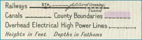
The map to the left shows the features of the
town of Brixham as it was in the mid twentieth century.
Click on any area of the map to view an enlargement.. |