|
|
|
Barnstaple
Barnstaple, having been granted a
charter in 930, claims to be the oldest borough in England. The town,
the largest in north Devon, lies about 40 miles to the north west of
Exeter and has a population in the region of 33,000. The town produced
its own coins in the local mint in the tenth century. At one time
Barnstaple was a busy port and shipbuilding centre but its importance as
a port declined with the silting up of the river Taw estuary. Once a
wool market and cloth manufacturing town, it remains an agricultural
centre, with regular markets. The
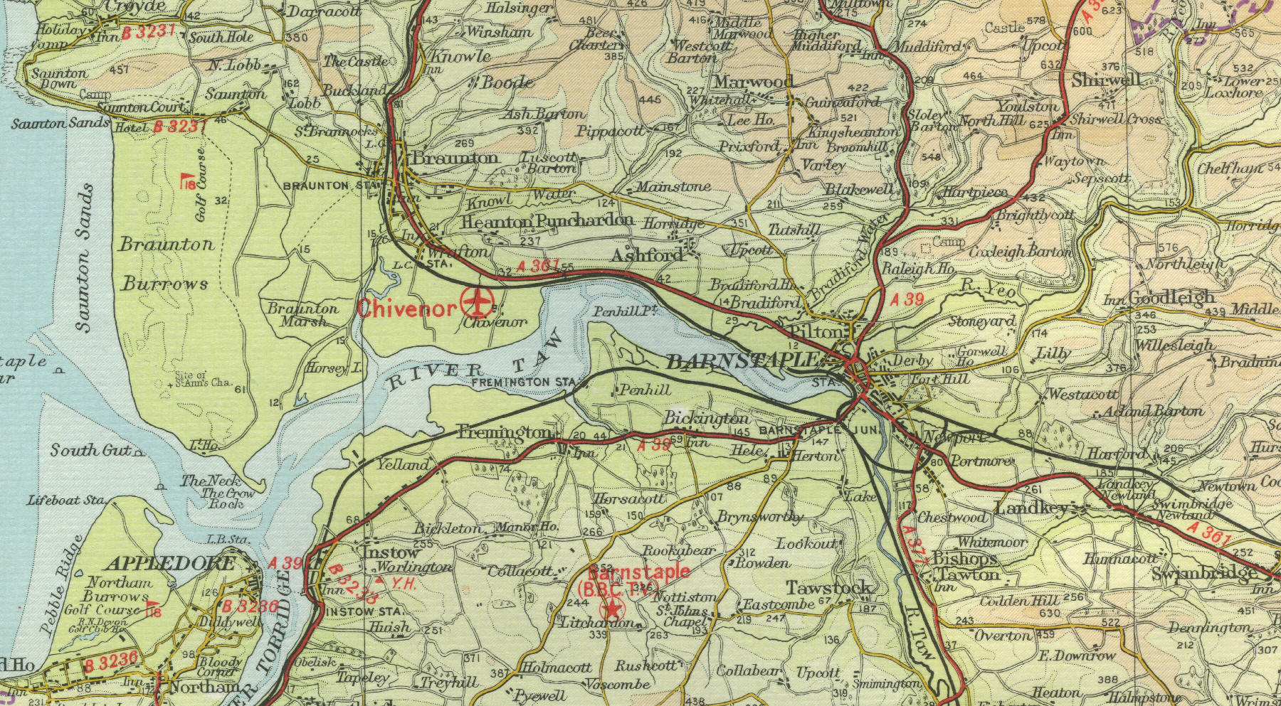
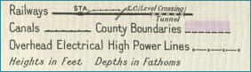
mapto the left shows the features of the town of Barnstaple as it was around
the middle of the twentieth century. Click on any area of the map to
view an enlargement. |