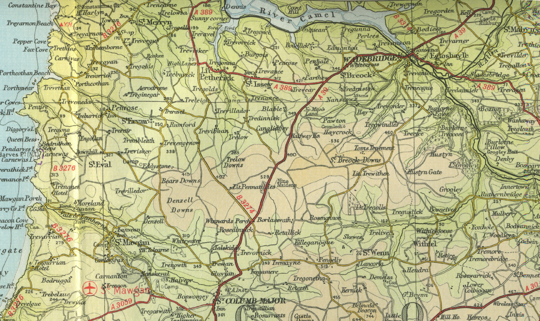
Wadebridge
Wadebridge is a
market town and tourist centre, situated on the estuary of the River
Camel in north Cornwall with a population of over 6000. It has one of
the finest medieval bridges in Britain, dating fro around 1490. The building of
the Wadebridge bypass in the early nineties took much of the traffic
away from the town centre and allowed the main shopping street to be pedestrianised. Now
home to the Royal Cornwall Agricultural Show, the town also hosts an
annual folk festival. A number of beaches are within easy reach and the
Camel estuary provides opportunities for a variety of water sports. Two
miles to the north. lies the Walmsley Bird Sanctuary.
The map below shows the
features of the town, its streets and houses as they were in the mid
twentieth century. Click on a selected area of the map below to see an
enlargement.
|