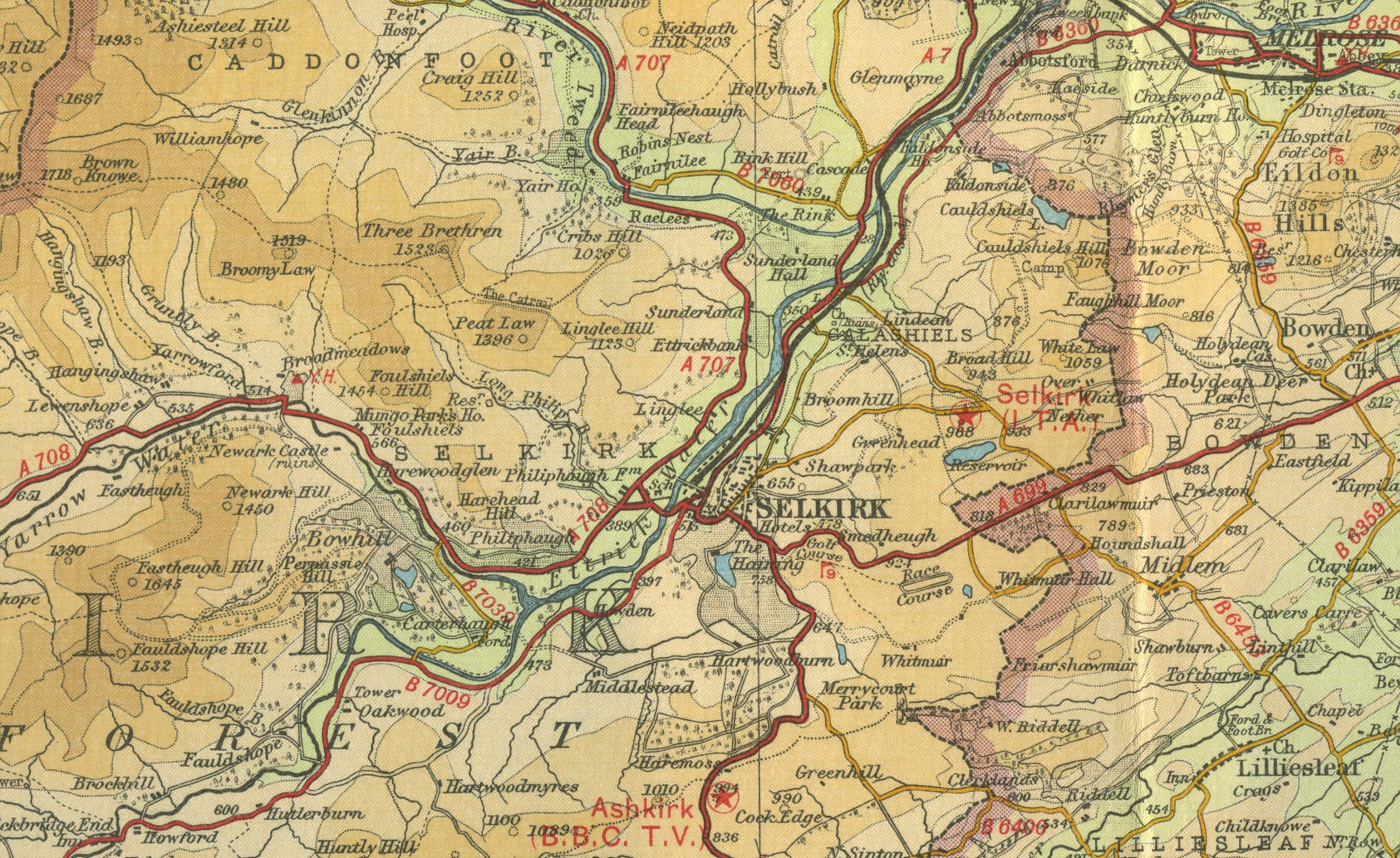
Selkirk
The Royal Burgh of Selkirk,
population around 6000, lies on the River Ettrick, a major tributary of
the River Tweed, in the Scottish Borders. Formerly the county town of
Selkirkshire, the town is rich in history, being the first border town
to have an abbey. A statue in the
town commemorates eighteenth century explorer Mungo Park and the local
museum houses exhibits from his expeditions to Sumatra and the Niger.
Selkirk men fought with William Wallace, Robert
the Bruce and many fell fighting the English on Flodden Field in 1513.
The town’s growth was based on the woollen industry but is now well
known for its glass making. There
is great rivalry among the Borders mill towns, today much in evidence on
the Rugby field. Selkirk is now popular with
visiting tourists. The map below shows the
main features of the town, its streets and houses as they were in the middle
of last century. Click on a selected area of the map to see an
enlargement.
|