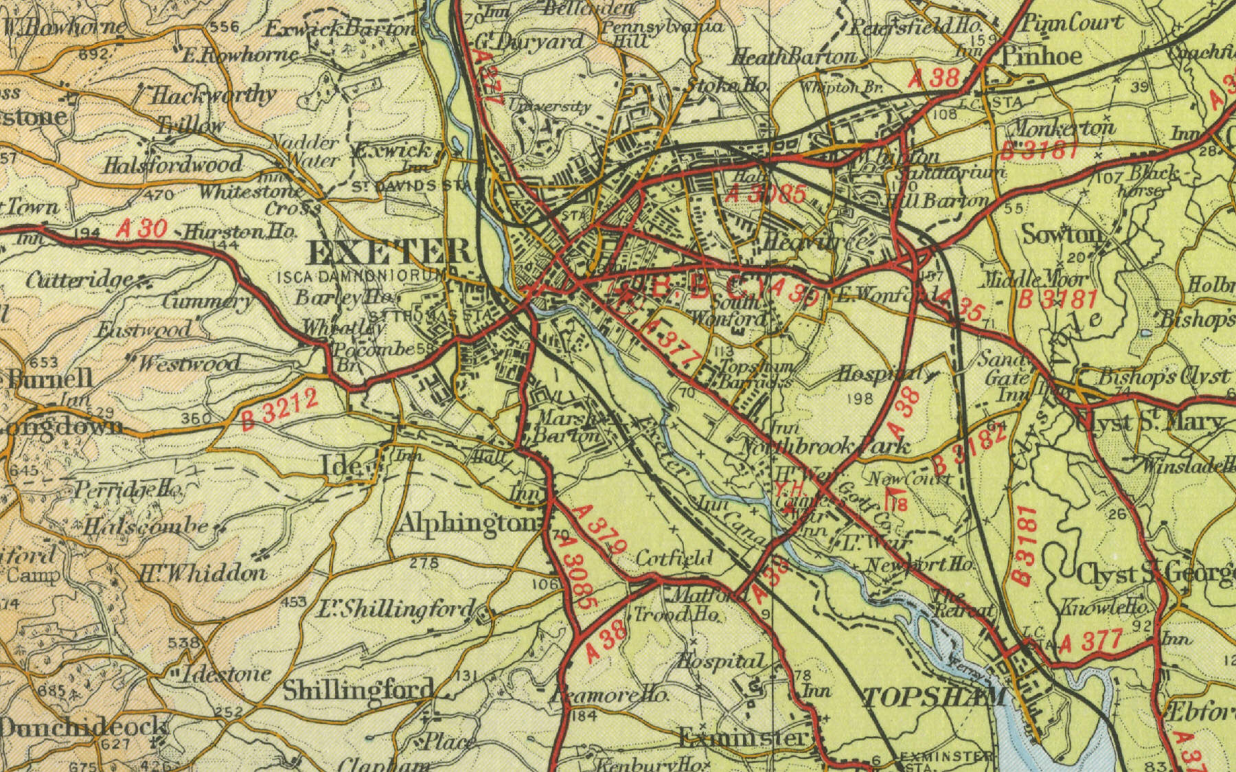
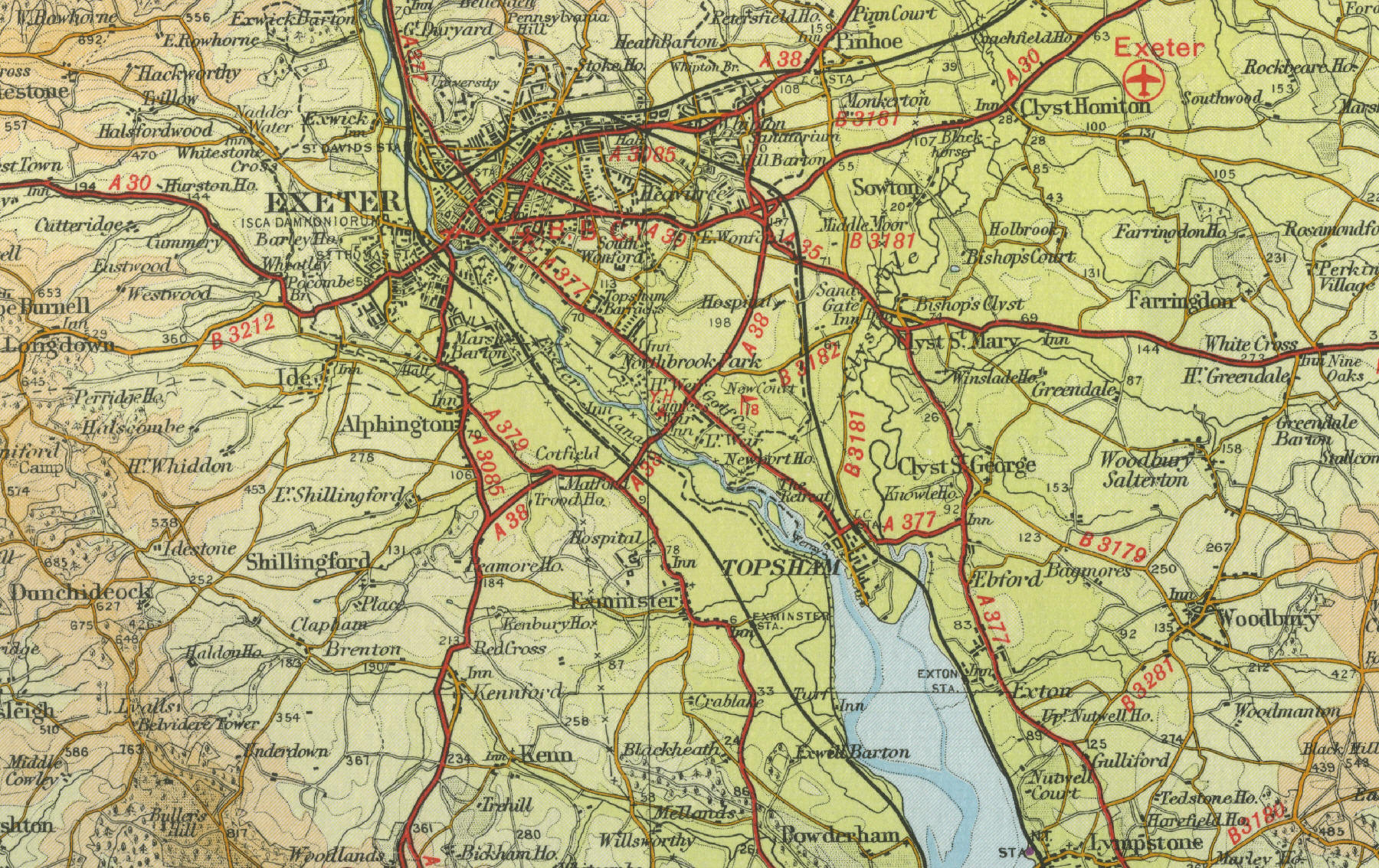
Exeter
The city of Exeter is the county
town of Devon, with a population in excess of 110,000. Exeter developed
as an administrative and route centre, owing largely to its location at
the lowest bridging point on the River Exe, and became the major city in
the south west. Rich in history, an early Celtic settlement occupied the
site of the city in the second century BC. Later, the Romans built
a wall around the city. The Cathedral stands today as one of the city's
most impressive buildings. Prior to steam powered
shipping, Exeter was a fairly busy port and is still popular as a
leisure boating centre. Exeter is now home to the Met Office, the
largest weather forecasting organisation in the UK and to Exeter
University, another major employer in the town, which is well served by
road and rail links, in addition to its own Exeter International
Airport, situated to the east of the city.
Click on a selected area of the map below to see an enlargement of the
town as it was around the middle of last century.
|