Edinburgh
Edinburgh, situated
on the south shore of the Firth of Forth and with a population of around
450,000, is Scotland's capital and second largest city. It is now the
home of the new Scottish Parliament in Holyrood, at the foot of the
Royal Mile. Edinburgh is one of Europe's most popular tourist
destinations, second only to London in the UK, attracting more than ten
million visitors each year, the main attractions being Edinburgh Castle,
which hosts the annual military Tattoo, Holyrood Palace and the new
Parliament building, the Edinburgh International Festival, the Fringe
and the Hogmonay street party held in Princes Street. Other famous
landmarks include the Scott monument, St Giles's Cathedral, the Law
Courts, the Royal Museum and Edinburgh University. Several viewpoints
overlook the city, most prominent of which are Arthur's Seat, which
overlooks the Old Town and Holyrood Park; and Calton Hill, on which
sit Nelson's Monument and the old Royal High School, for
a period the home of the devolved Scottish Assembly: and the unfinished
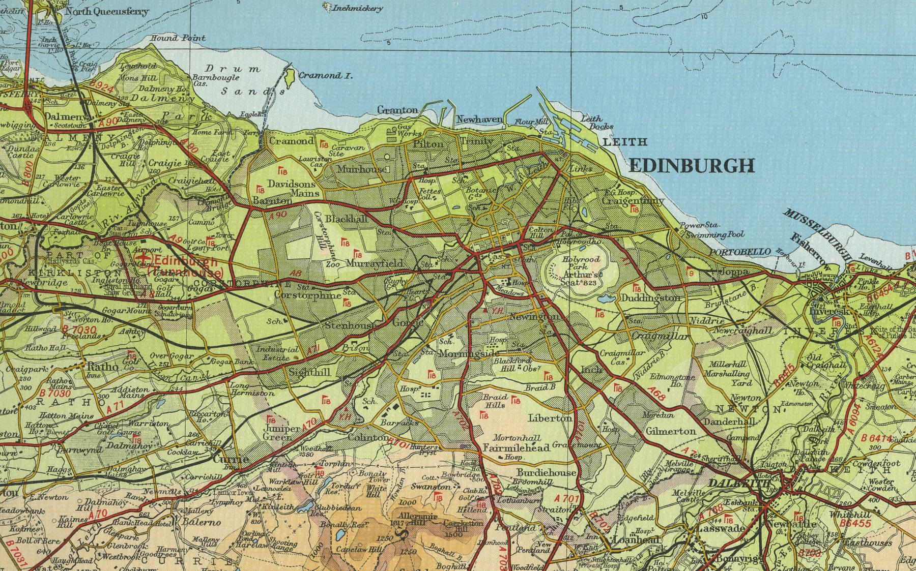
National Monument, modelled on the Greek Parthenon, giving rise to Edinburgh's nick name of the Athens of the North”. The map below shows the
features of the city, its streets and houses as they were in the middle
of last century. Click on a selected area of the map to see an
enlargement.
|