|
|
|
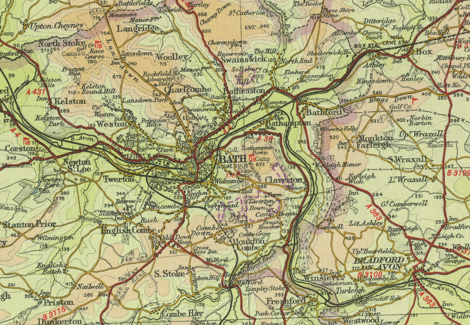
BATH
Situated about fourteen
miles to the south east of Bristol, in the Avon valley, on the southern
edge of the Cotswolds, Bath is famous for its natural spa baths
fed by hot springs. Bath grew as a resort for the wealthy, who came to
bathe in the hot spring water, believed to be a cure for many ailments.
Now a city of around 80,000 people, the largest in Somerset, Bath is
famous for its fine Georgian architecture attracting many tourists, who
are well catered for with an abundance of hotels and restaurants. Apart
from the Roman Baths, popular attractions include Bath Abbey; the
Circus, Queen's Square and the Royal Crescent; several museums including
the Carriage Museum and the Toy museum. Its main railway station, Bath
Spa, lies on the Great Western Railway, which links Bristol and London.
Popular boating centre, for users of narrow boats on the River Avon and
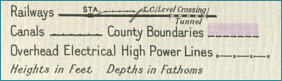
the Avon canal. The map to the left shows the features of the city as
they were in the mid twentieth century. Click on any area of the map to
to view an enlargement. |