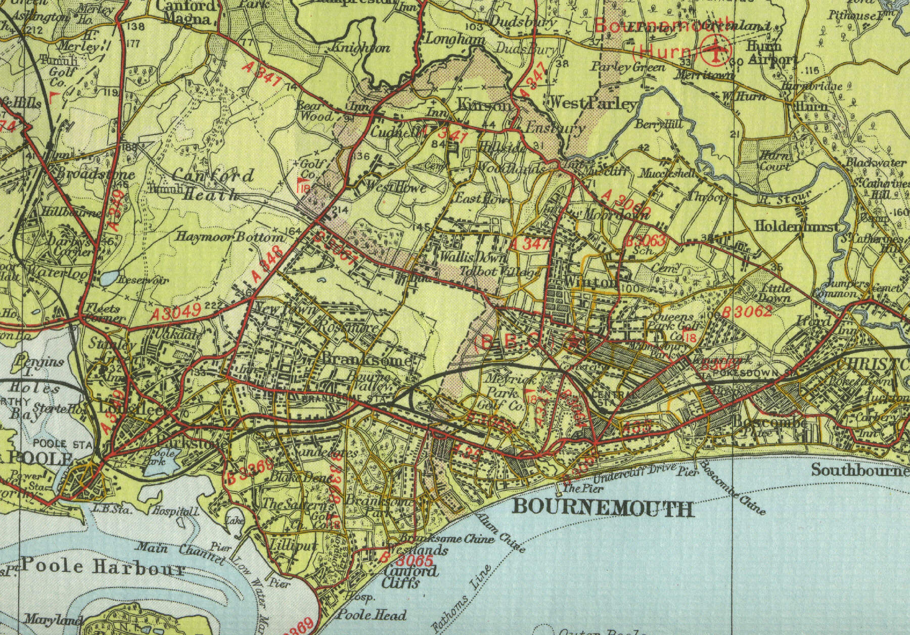
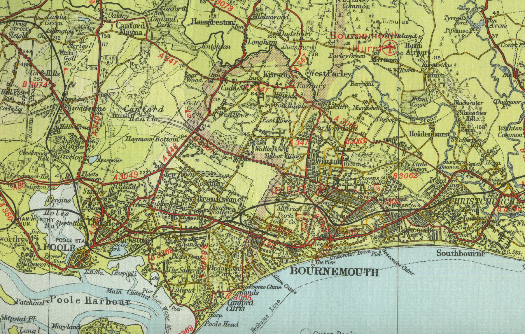
Bournemouth
Bournemouth is the largest holiday
resort town on the south coast of England, situated between Poole and
Christchurch and about 100 miles to the south west of London. First
developed from the early nineteenth century and historically in the
county of Hampshire, since the 1974 local government reorganisation,
Bournemouth has been officially in the county of Dorset. Its six mile long beach proves a
great attraction for tourists, who can choose from a wide range of
accommodation and entertainment, with good access to the New Forest and
the countryside of Dorset and its neighbouring counties. Places of
interest to visitors include the Pavilion, The Winter Gardens, the Pier,
the Museum and Art gallery. The town continues to
grow with a current population in excess of 160,000. Bournemouth, along
with Poole and Christchurch, forms one of the most important retail and
commercial centres in the south of England. Traditionally popular with
retired people, Bournemouth now houses many students studying at
Bournemouth University. Click on a
selected area of the map below to see an enlargement.
|